
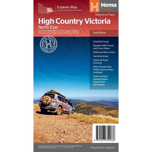
Hema The Victorian High Country - North Eastern Map 1:100,00
Make 4 payments of $3.99 over 8 weeks with

In Stock - In Stock at Supplier - Item Ships in 2-5 business days
Special Order Item - Terms and Conditions apply.
Need it fast? Contact us to confirm lead times.
Pickup currently unavailable.
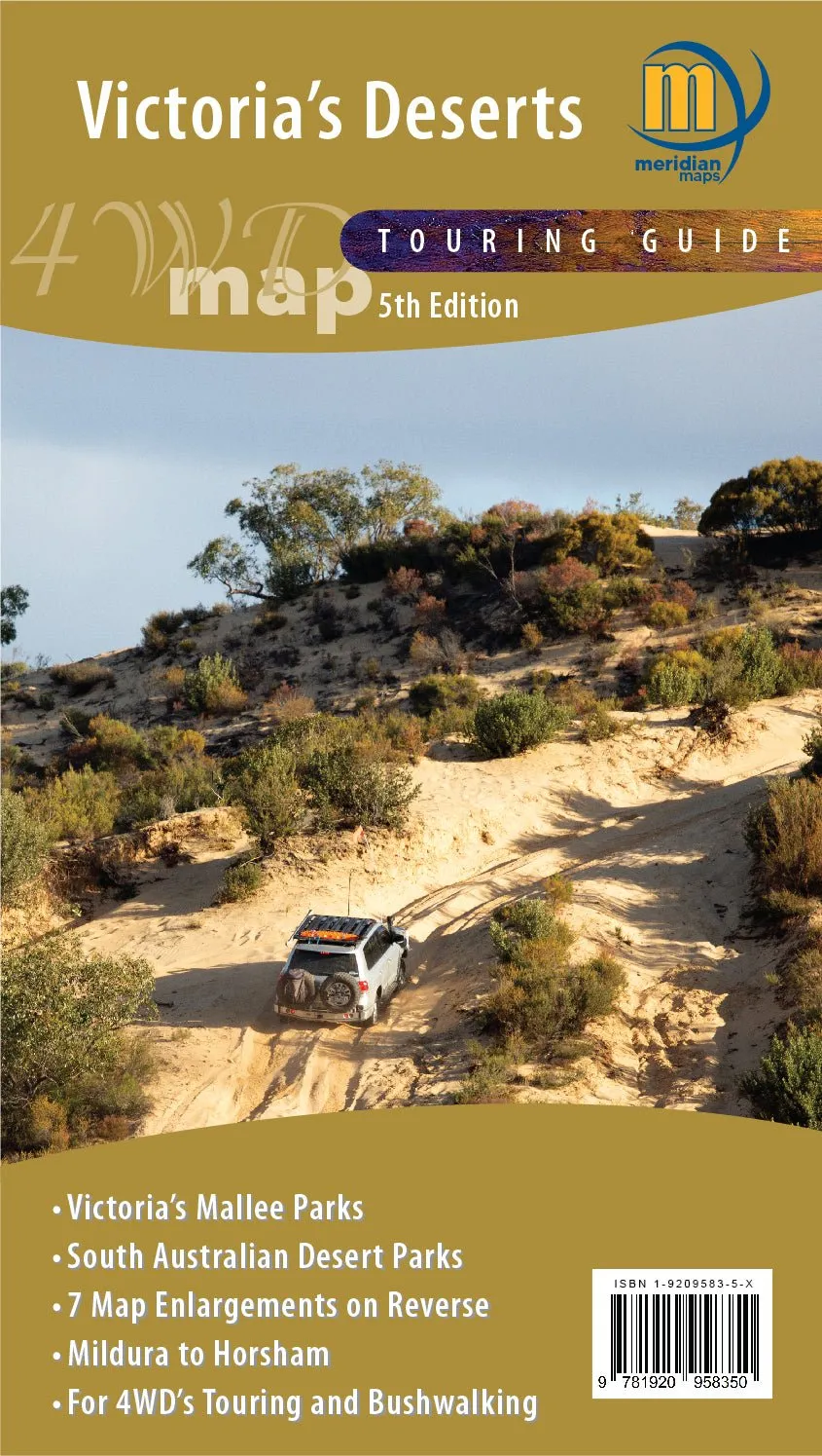


Victoria's Deserts 4WD Map
Meridian Maps map
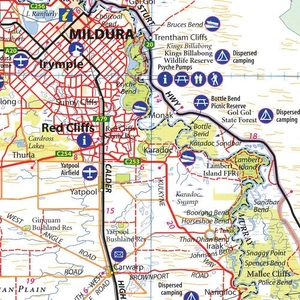
Covering the Mallee and northern Wimmera districts of Victoria and far eastern South Australia, this map is aimed fairly and squarely at the 4WD market and covers an area that has little commercial map coverage. Known for its range of beautiful mallee ecosystems, historical sites and wide range of wildlife, Victoria’s deserts are a delight to visit.
What the map shows
The Victoria’s Deserts 4WD Touring Map is at a scale of 1:350 000. It covers Victoria’s most interesting desert national parks and state forest, such as Little Desert, Wyperfeld, Murray-Sunset, Hattah-Kulkyne and Big Desert. There is also coverage of some of South Australia’s more accessible parks and reserves, such as Murray River National park and Ngarkat and Scorpion Springs Conservation Reserves.
This map is an invaluable tool for four wheel driving in this special part of Victoria, and a vital resource to businesses, tourist operators and holiday makers in this incredible region of Victoria.
The map includes detailed camp ground and facilities information; major 4WD touring routes, such as the Border Track and Murrayville Track; important phone numbers and reference material in the region; and is large enough to show all roads, 4WD Tracks and many walking tracks in the region.
| Publisher | Meridian Maps |
| Weight | 90g |
| ISBN | 9781920958350 |
Questions about this title? Our team can help.
Contact our team| SKU | 9781920958350 |
| Barcode # | 9781920958350 |
| Brand | Meridian Maps |
Perception Lighting stocks 26 Meridian Maps products, including maps....
Find Out More
Make 4 payments of $3.99 over 8 weeks with

Make 4 payments of $3.99 over 8 weeks with
Make 4 payments of $3.99 over 8 weeks with

This item is currently on back order and may require additional processing time.
This is a non-stocked item and may require additional processing time. Please click here for more information.