

Hema Outback Queensland Map - Camooweal to Stanthorpe (5th E
Make 4 payments of $3.99 over 8 weeks with

In Stock - In Stock at Supplier - Item Ships in 2-5 business days
Special Order Item - Terms and Conditions apply.
Need it fast? Contact us to confirm lead times.
Pickup currently unavailable.
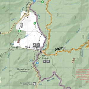
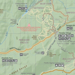


Take on the border ranges with track-level detail
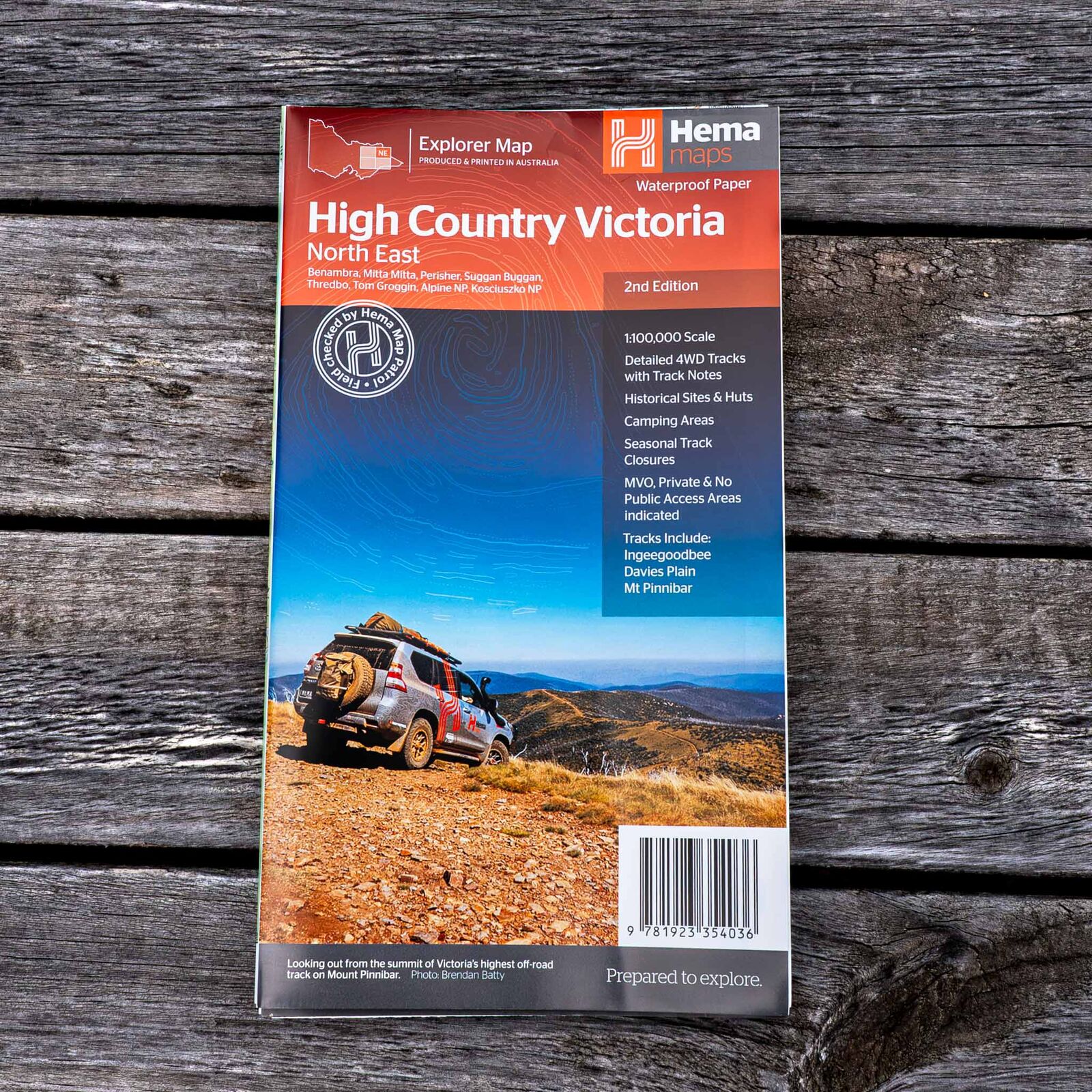
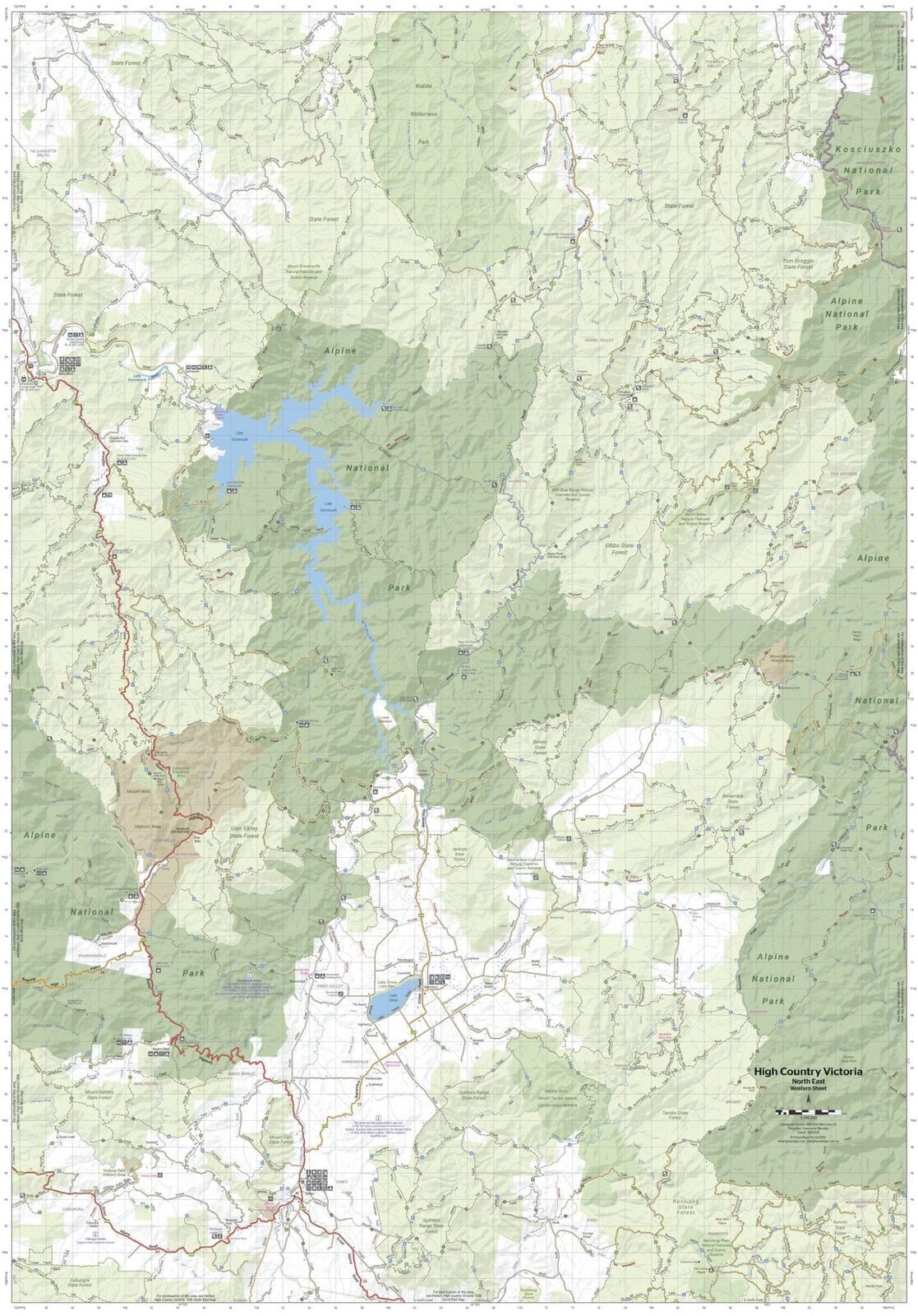
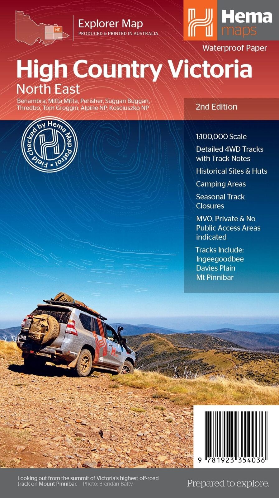
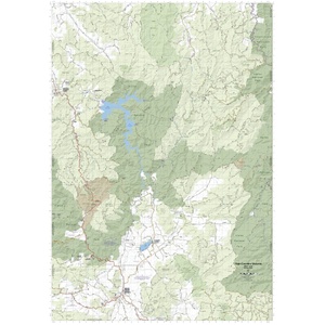
Planning Davies Plain, the Ingeegoodbee or the climb to Mt Pinnibar? This waterproof 1:100,000 map covers the High Country along the Victoria and New South Wales border, from Benambra and Mitta Mitta to Tom Groggin, Thredbo and Kosciuszko National Park.
Hema Maps has been mapping Australia since 1983. Roads and 4WD tracks on this map are field checked by the Hema Map Patrol, and it is one of four maps in Hema's Victorian High Country series.
The northern borderlands
The map takes in the ranges from Omeo to Jindabyne. The cover lists Benambra, Mitta Mitta, Perisher, Suggan Buggan, Thredbo, Tom Groggin, Alpine National Park and Kosciuszko National Park.
Know before you go
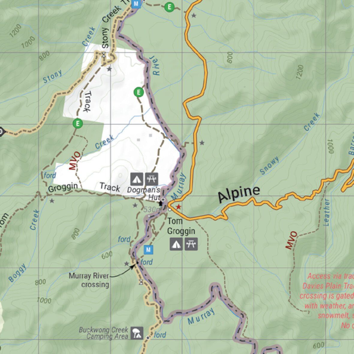
Seasonal snowline and track closures are shown, along with management vehicle only (MVO), private and no public access areas. Road distances help you plan each day's drive, and campgrounds and huts are marked with clear symbols.
From the Murray to the main range
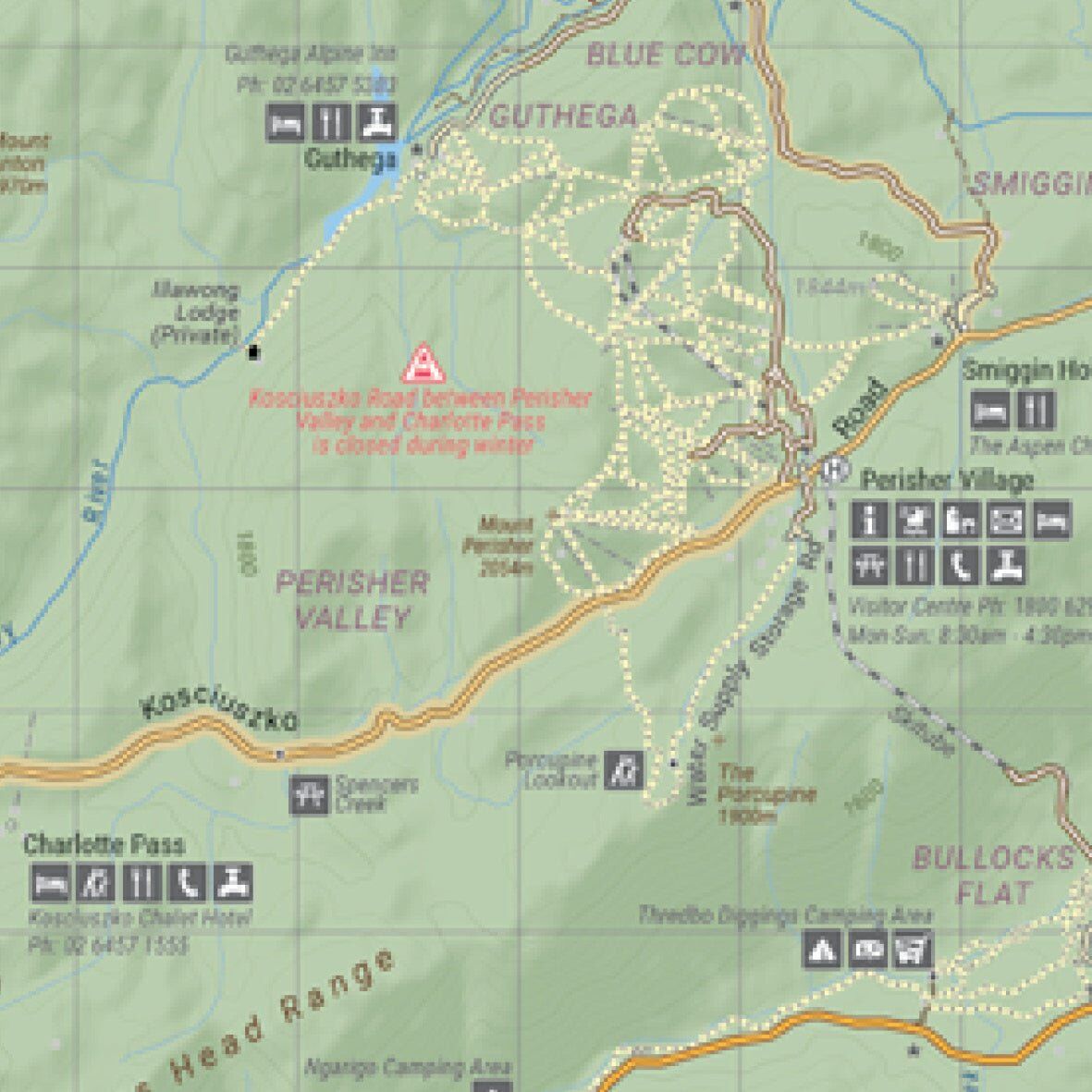
Up on the main range, the map shows ski villages, roads, lodges and camping areas around Perisher, Guthega and Charlotte Pass, including notes on roads that close in winter.
Yes. It is printed on waterproof synthetic paper, so it copes with rain, river crossings and life on the dash.
The northern borderlands, from Omeo to Jindabyne, including Benambra, Mitta Mitta, Tom Groggin, Suggan Buggan, Thredbo, Perisher, the Alpine National Park and Kosciuszko National Park.
This is the 2nd edition (ISBN 9781923354036) at 1:100,000 scale.
Yes. Seasonal snowline and track closures are marked. Always check current closures with Parks Victoria or NSW National Parks before you head out.
Yes. This is one of four 1:100,000 maps in the series: North East, North West, South East and South West. See the related maps below.
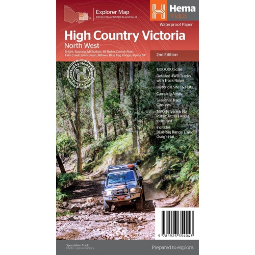
The neighbouring sheet: Bright, Mt Buffalo, Falls Creek and the Blue Rag Range.
$15.95 · View

Track-by-track guide to the Victorian High Country, with atlas mapping.
$49.95 · View

| Brand | Hema Maps |
| Title | The Victorian High Country - North Eastern Map |
| Series | Victorian High Country Explorer Map |
| Edition | 2nd |
| ISBN | 9781923354036 |
| Scale | 1:100,000 |
| Places on the cover | Benambra, Mitta Mitta, Perisher, Suggan Buggan, Thredbo, Tom Groggin, Alpine NP, Kosciuszko NP |
| Paper | Waterproof synthetic paper |
| Folded size (W x H x D) | 140 x 250 x 3 mm |
| Flat size (W x H) | 700 x 1000 mm |
| Weight | 68 g |
| SKU | 9781923354036 |
| Barcode # | 9781923354036 |
| Brand | Hema Maps |
| Shipping Weight | 0.0700kg |
| Shipping Width | 0.140m |
| Shipping Height | 0.005m |
| Shipping Length | 0.250m |
Hema Maps has been mapping Australia since 1983, with touring and 4WD maps built from tracks its own teams have driven and GPS-surveyed. Hema Maps began in 1983, when Henry and Margaret Boegheim started laminating marine charts from their family home in South East Queensland, naming the business aft...
Find Out More
Make 4 payments of $3.99 over 8 weeks with

Make 4 payments of $9.99 over 8 weeks with

Make 4 payments of $2.99 over 8 weeks with
This item is currently on back order and may require additional processing time.
This is a non-stocked item and may require additional processing time. Please click here for more information.