

Hema Outback Queensland Map - Camooweal to Stanthorpe (5th E
Make 4 payments of $3.99 over 8 weeks with

In Stock - In Stock at Supplier - Item Ships in 2-5 business days
Special Order Item - Terms and Conditions apply.
Need it fast? Contact us to confirm lead times.
Pickup currently unavailable.


Zeka Spur, Billy Goat Bluff and the Wonnangatta
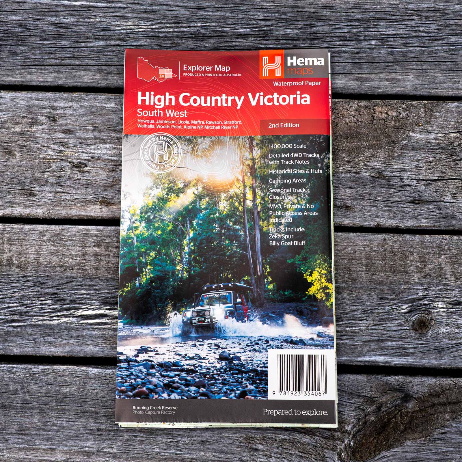
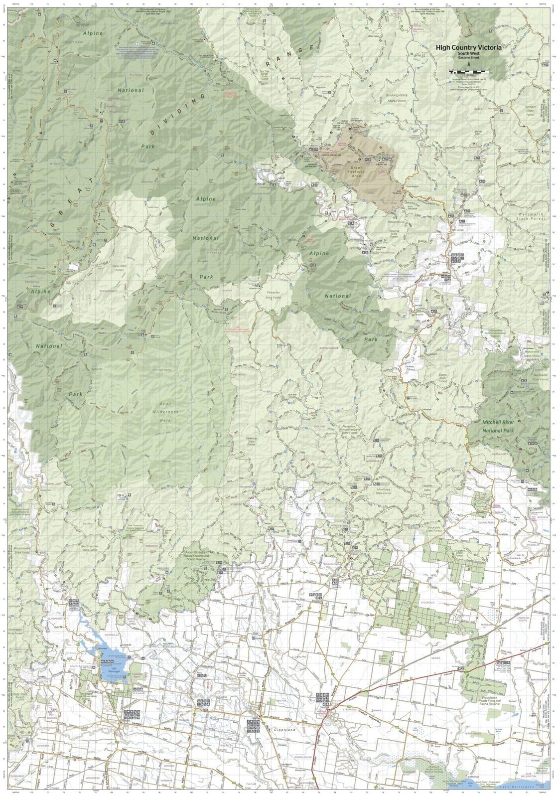
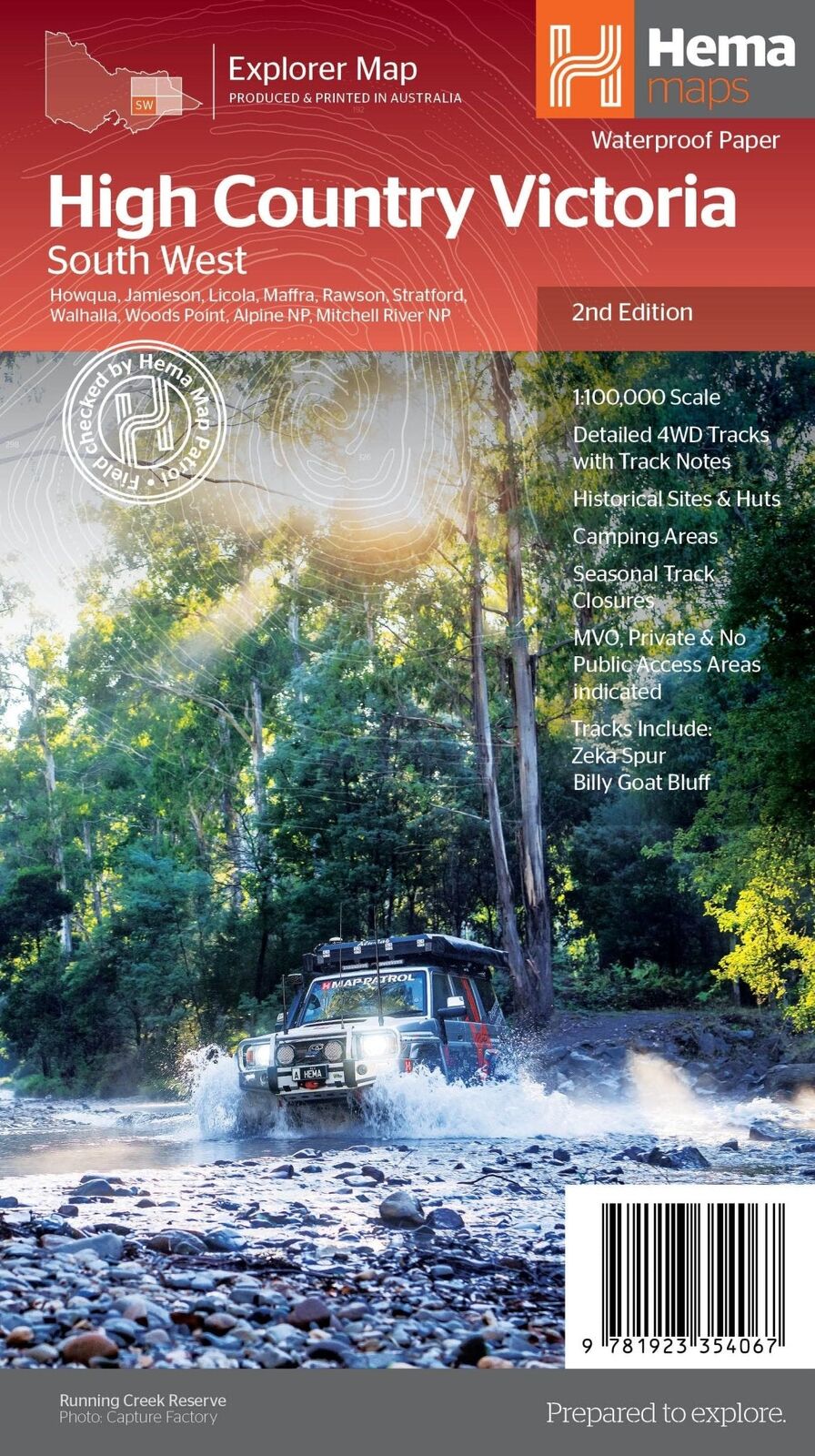
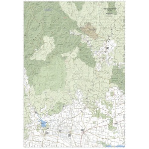
Ready for the big climbs of the southern ranges? This waterproof 1:100,000 map covers the south-west of the Victorian High Country, from Howqua and Jamieson across to Licola, Walhalla, Woods Point and the Mitchell River National Park.
Hema Maps has been mapping Australia since 1983. Roads and 4WD tracks on this map are field checked by the Hema Map Patrol, and it is one of four maps in Hema's Victorian High Country series.
The southern ranges on one sheet
The cover lists Howqua, Jamieson, Licola, Maffra, Rawson, Stratford, Walhalla, Woods Point, the Alpine National Park and the Mitchell River National Park.
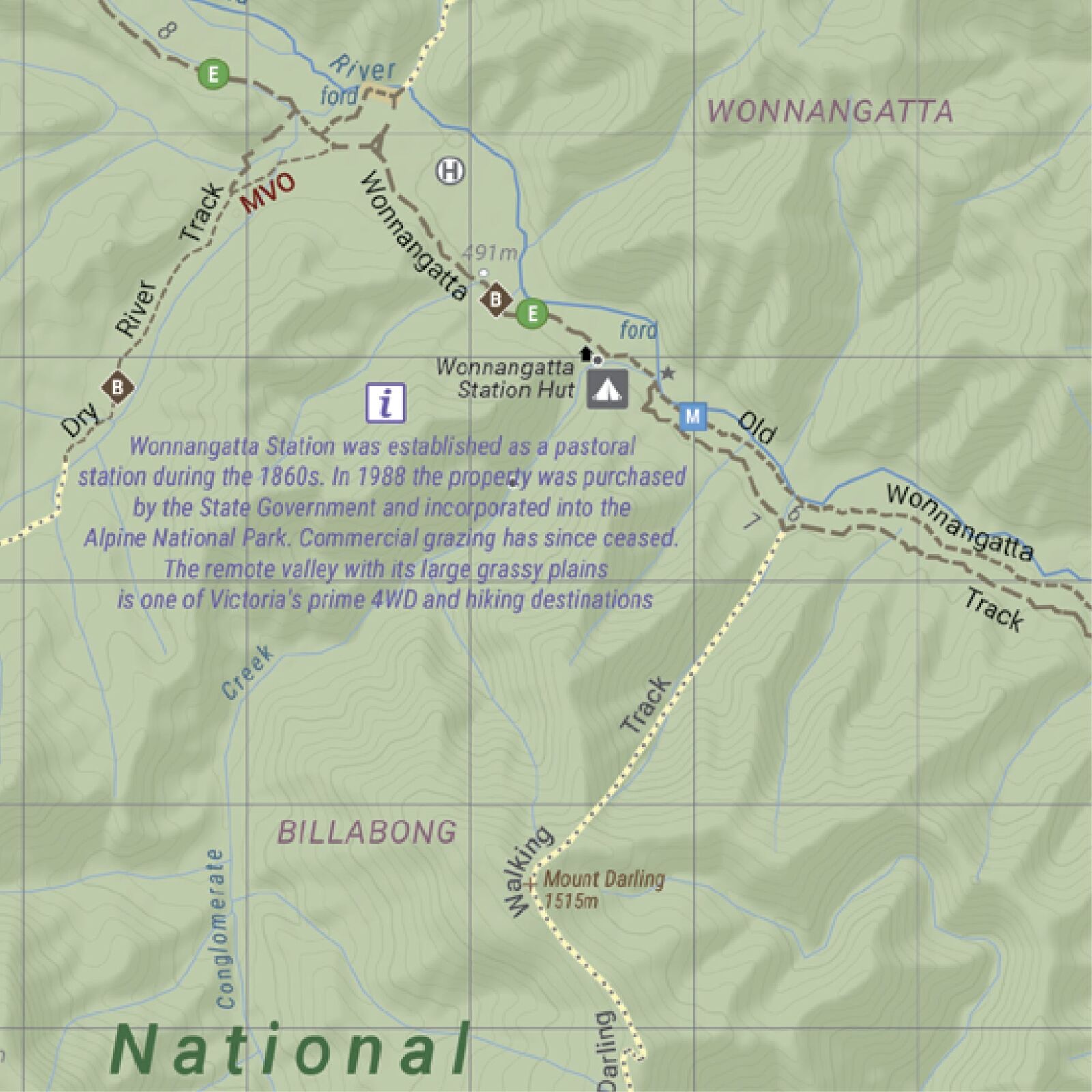
Into the Wonnangatta Valley
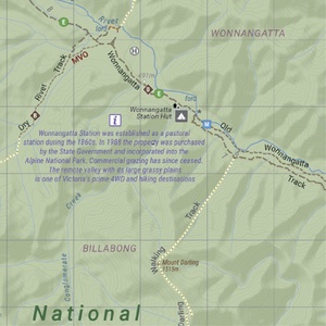
Short notes on the map tell the story behind key places, like Wonnangatta Station, a remote valley that is now part of the Alpine National Park. Huts, river fords and campsites are all marked.
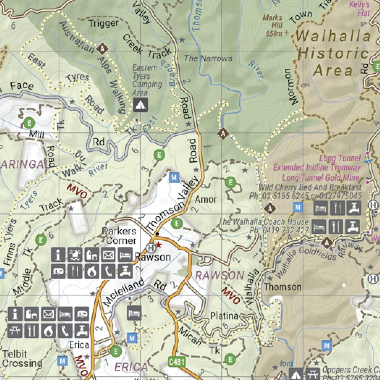
Walhalla, Rawson and the Thomson
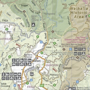
The map covers the old goldfields around Walhalla, with town services, accommodation, camping areas and walking tracks marked around Rawson, Erica and the Thomson River.
Yes. It is printed on waterproof synthetic paper, so it copes with rain, river crossings and life on the dash.
The south-west, including Howqua, Jamieson, Licola, Maffra, Rawson, Stratford, Walhalla, Woods Point, the Alpine National Park and the Mitchell River National Park.
This is the 2nd edition (ISBN 9781923354067) at 1:100,000 scale.
Yes. Both are on the map with track notes, along with King Billy and the Wonnangatta Valley.
Yes. This is one of four 1:100,000 maps in the series: North East, North West, South East and South West. See the related maps below.
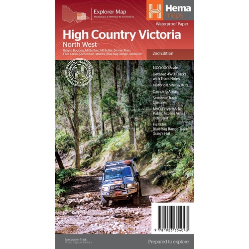
The northern sheet: Mt Buller, Falls Creek and the Blue Rag Range.
$15.95 · View
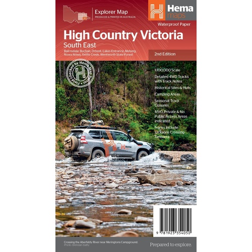
The eastern sheet: Buchan, Orbost, Swifts Creek and the Gippsland Lakes.
$15.95 · View

Track-by-track guide to the Victorian High Country, with atlas mapping.
$49.95 · View
| Brand | Hema Maps |
| Title | The Victorian High Country - South Western Map |
| Series | Victorian High Country Explorer Map |
| Edition | 2nd |
| ISBN | 9781923354067 |
| Scale | 1:100,000 |
| Places on the cover | Howqua, Jamieson, Licola, Maffra, Rawson, Stratford, Walhalla, Woods Point, Alpine NP, Mitchell River NP |
| Paper | Waterproof synthetic paper |
| Folded size (W x H x D) | 140 x 250 x 3 mm |
| Flat size (W x H) | 700 x 1000 mm |
| Weight | 68 g |
| SKU | 9781923354067 |
| Barcode # | 9781923354067 |
| Brand | Hema Maps |
| Shipping Weight | 0.0700kg |
| Shipping Width | 0.140m |
| Shipping Height | 0.005m |
| Shipping Length | 0.250m |
Hema Maps has been mapping Australia since 1983, with touring and 4WD maps built from tracks its own teams have driven and GPS-surveyed. Hema Maps began in 1983, when Henry and Margaret Boegheim started laminating marine charts from their family home in South East Queensland, naming the business aft...
Find Out More
Make 4 payments of $3.99 over 8 weeks with

Make 4 payments of $9.99 over 8 weeks with

Make 4 payments of $2.99 over 8 weeks with
This item is currently on back order and may require additional processing time.
This is a non-stocked item and may require additional processing time. Please click here for more information.