
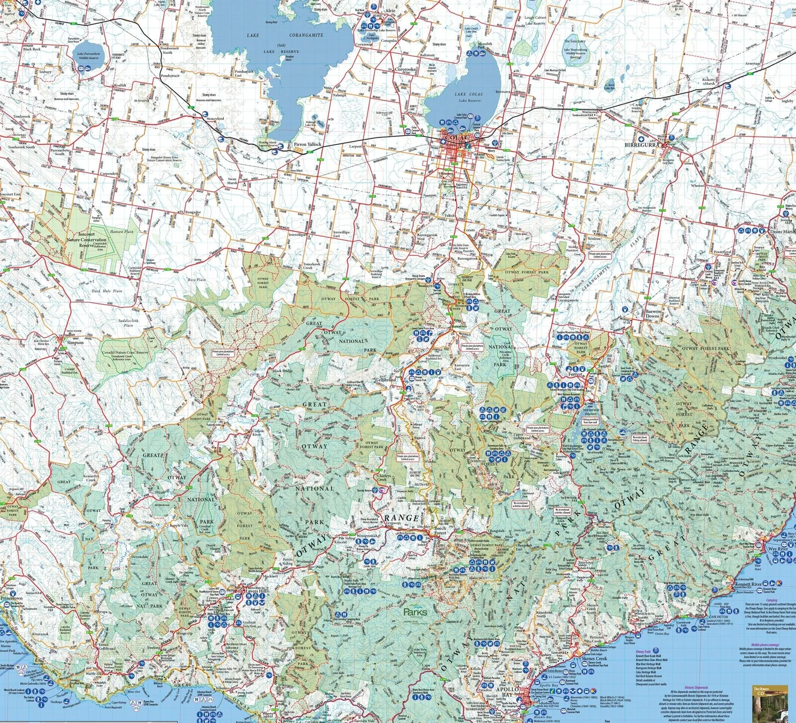
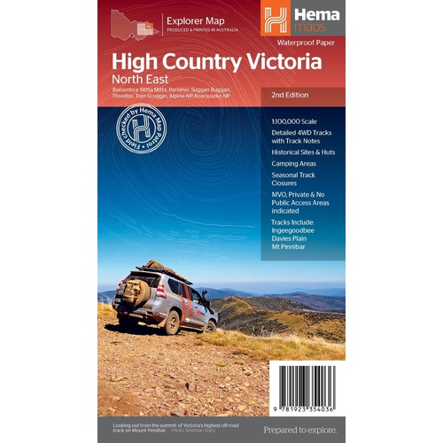
Hema The Victorian High Country - North Eastern Map 1:100,00
Make 4 payments of $3.99 over 8 weeks with

In Stock - In Stock at Supplier - Item Ships in 2-5 business days
Special Order Item - Terms and Conditions apply.
Need it fast? Contact us to confirm lead times.
Pickup currently unavailable.
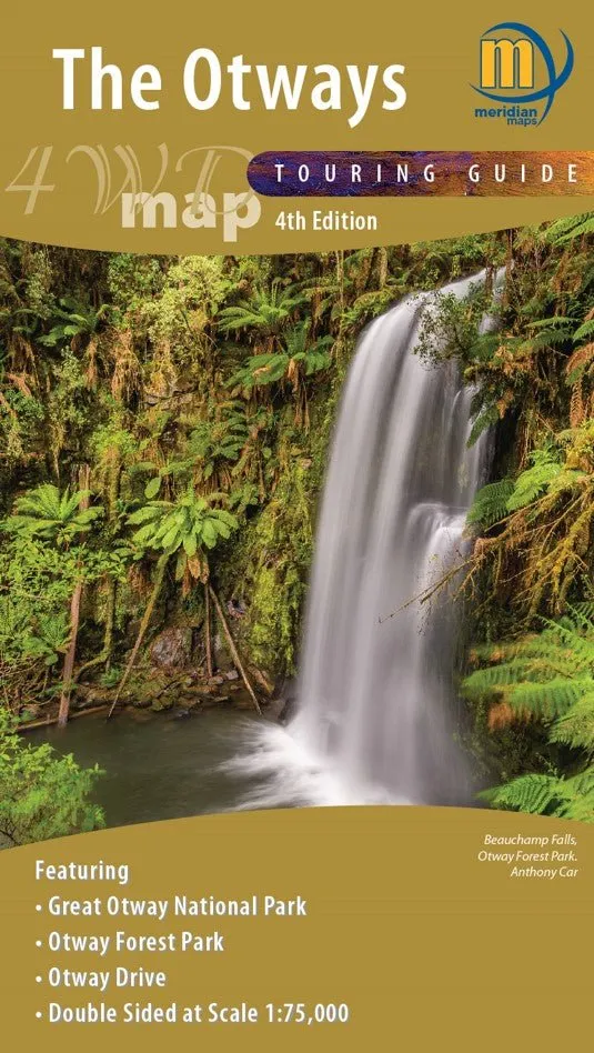
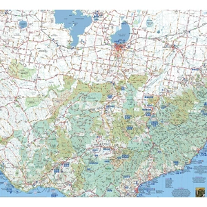


The Otways 4WD Map
Meridian Maps map
The Meridian Maps The Otways 4WD Map is a high-quality, detailed map that is specifically designed for 4WD enthusiasts and outdoor adventurers looking to explore the rugged terrain of the Otways region in Victoria, Australia.
This map features comprehensive coverage of the Otways region, including the Great Otway National Park, Otway Forest Park and Otway Drive with detailed topographic and contour lines to help you navigate the challenging landscape. It also provides valuable information on 4WD tracks, fire trails, campsites, points of interest, and other essential details that will help you plan your adventure with confidence.
What the map shows
The map is printed on durable paper and is backed by Meridian Maps' reputation for high-quality cartography. Additionally, the map is updated to the latest information available and has a user-friendly design that is easy to read and interpret.
With its comprehensive coverage and detailed information, the Meridian Maps The Otways 4WD Map is an essential tool for anyone looking to explore this beautiful part of Australia. Whether you're a seasoned 4WD enthusiast or a first-time visitor, this map will help you plan your route, find campsites and other points of interest, and make the most of your adventure in the Otways region.
This map is split on two sides. The first side covers from Angelsea down to Apollo Bay on the Great Ocean Road and then to Winchelsea in the North and Birregurra in the West. The reverse side covers from Apollo Bay to Princetown (including the 12 apostles) along the Great Ocean Road and then stretches North up to Camperdown and Colac. This side covers the Great Otway National Park, Otway Forest Park, Jancourt Nature Conservation Reserve and Coradjil Nature Conservation Reserve.
| Publisher | Meridian Maps |
| Edition | 4th |
| Folded Size | 140mm x 250mm x 2mm |
| Flat Size | 700mm x 1000mm |
| Scale | 1:75,000 |
| Weight | 90g |
| ISBN | 9781920958473 |
Questions about this title? Our team can help.
Contact our team| SKU | 9781920958473 |
| Barcode # | 9781920958473 |
| Brand | Meridian Maps |
Perception Lighting stocks 26 Meridian Maps products, including maps....
Find Out More
Make 4 payments of $3.99 over 8 weeks with

Make 4 payments of $3.99 over 8 weeks with
Make 4 payments of $3.99 over 8 weeks with

This item is currently on back order and may require additional processing time.
This is a non-stocked item and may require additional processing time. Please click here for more information.