

Hema Outback Queensland Map - Camooweal to Stanthorpe (5th E
Make 4 payments of $3.99 over 8 weeks with

In Stock - In Stock at Supplier - Item Ships in 2-5 business days
Special Order Item - Terms and Conditions apply.
Need it fast? Contact us to confirm lead times.
Pickup currently unavailable.


Perth, Fremantle and the region on one sheet
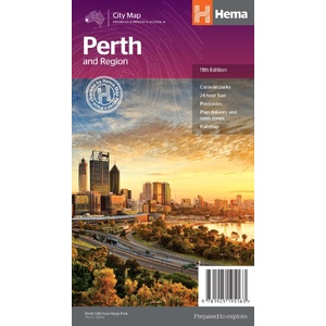
Arriving in Perth with the van, or using the city as a base for the South West? Hema's Perth & Region map has the suburbs and city on one side, and Fremantle and the wider region on the other.
Hema Maps has been mapping Australia since 1983. This City Map carries Hema's Map Patrol field-checked seal and is produced and printed in Australia.
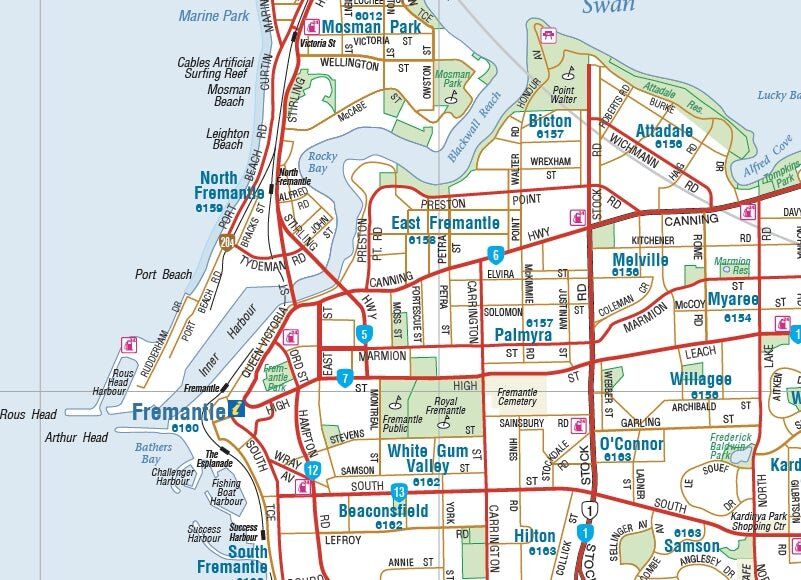
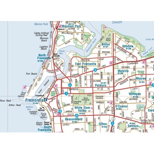
Fremantle in detail
A 1:20,000 map of Fremantle shows the streets, suburbs and postcodes around the port, with points of interest and accommodation for both Fremantle and Perth.
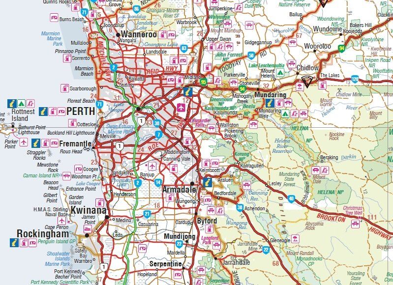
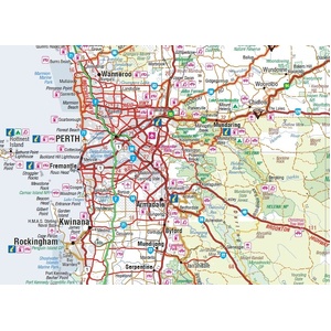
The wider Perth region
The 1:750,000 region map takes in the coast, Rottnest Island and the Perth Hills, with caravan parks and 24-hour fuel marked for heading out of the city.
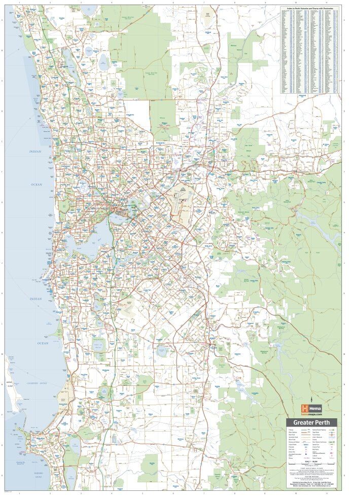
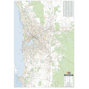
Suburbs, postcodes and a full index
The suburbs map covers greater Perth at 1:80,000, with postcodes and a full index so you can find a street or suburb quickly.
Perth suburbs (1:80,000) and Perth city (1:15,000) on one side, and the Perth region (1:750,000) and Fremantle (1:20,000) on the other, plus a rail network map.
Yes. Caravan parks and 24-hour fuel are marked.
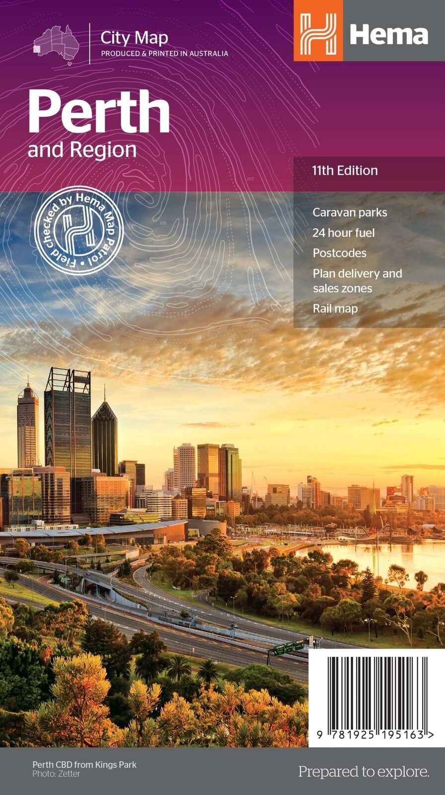
The cover shows the 11th edition (ISBN 9781925195163).
Yes. There is a full index of streets and suburbs.

Margaret River, the Southern Forests and the south coast.
$15.95 · View
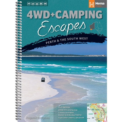
Guide to the best 4WD and camping spots around Perth and the South West.
$29.95 · View
| Brand | Hema Maps |
| Title | Perth and Region |
| Series | City Map |
| Edition | 11th |
| ISBN | 9781925195163 |
| Scales | 1:80,000 (suburbs), 1:15,000 (city), 1:20,000 (Fremantle), 1:750,000 (region) |
| Folded size (W x H x D) | 118 x 250 x 3 mm |
| Flat size (W x H) | 700 x 1000 mm |
| Weight | 70 g |
| SKU | 9781925195163 |
| Barcode # | 9781925195163 |
| Brand | Hema Maps |
| Shipping Weight | 0.0700kg |
| Shipping Width | 0.118m |
| Shipping Height | 0.003m |
| Shipping Length | 0.250m |
Hema Maps has been mapping Australia since 1983, with touring and 4WD maps built from tracks its own teams have driven and GPS-surveyed. Hema Maps began in 1983, when Henry and Margaret Boegheim started laminating marine charts from their family home in South East Queensland, naming the business aft...
Find Out More
Make 4 payments of $3.99 over 8 weeks with

Make 4 payments of $9.99 over 8 weeks with

Make 4 payments of $2.99 over 8 weeks with
This item is currently on back order and may require additional processing time.
This is a non-stocked item and may require additional processing time. Please click here for more information.