

Hema K'gari (Fraser Island) & the Brisbane Islands Atlas & G
Make 4 payments of $12.49 over 8 weeks with

In Stock - In Stock at Supplier - Item Ships in 2-5 business days
Special Order Item - Terms and Conditions apply.
Need it fast? Contact us to confirm lead times.
Pickup currently unavailable.
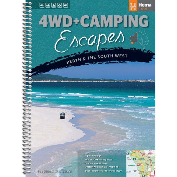
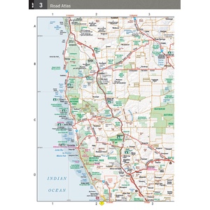
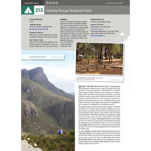


Weekend 4WD and camping trips from Perth
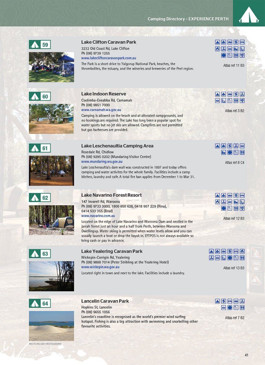
Looking for a weekend away from Perth? This Hema guide brings together the best four-wheel driving and camping in Western Australia's South West. There are 15 tracks to choose from, some for first-timers and others to test more experienced drivers, plus almost 300 camping areas.
Hema Maps has been mapping Australia since 1983. This guide is written by Michael and Jane Pelusey, keen outdoor enthusiasts and experienced travel writers.
A camp to suit your setup
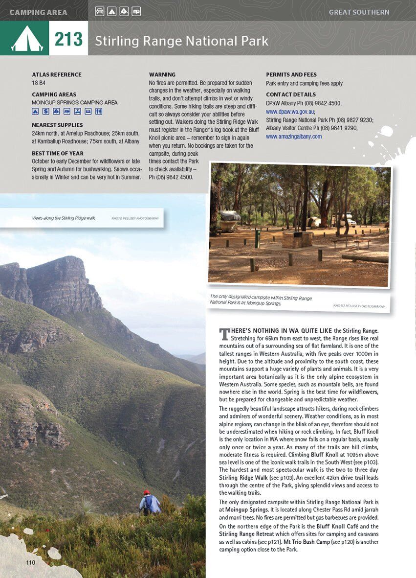
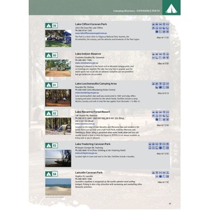
Featured camping area pages help you find a site that suits, whether that is a 2WD-accessible spot with toilets and a shower for the caravan, or a 4WD-only bush camp with no facilities where your pet is allowed. Each entry lists access, facilities, nearest supplies, permits and fees, and the best time of year.
15 tracks, colour-coded by vehicle
Each of the 15 tracks has its own detailed inset map of the route. Tracks are colour-coded so it is simple to find ones that suit your vehicle, and symbols show towing suitability too.
Atlas and pre-trip reading included
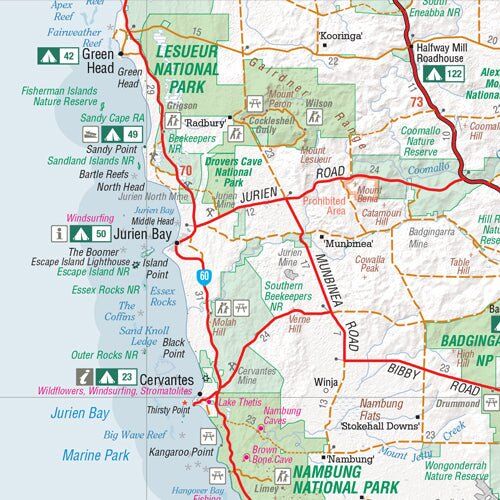
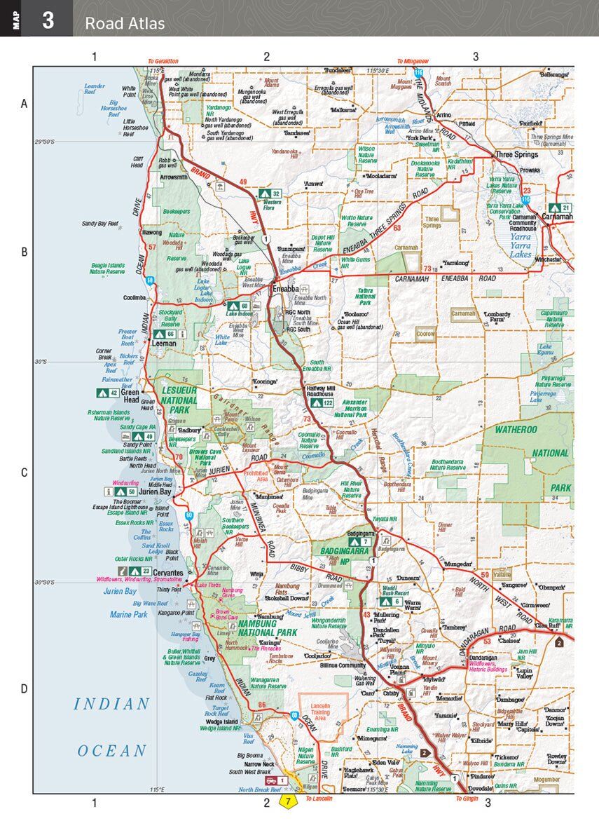
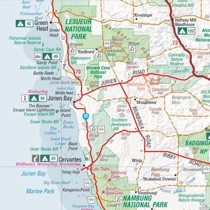
The complete atlas section contains Hema's South West Western Australia mapping, with 24-hour fuel, information centres, rest areas and points of interest. Pre-trip reading covers terrain, permits, environmental issues, fishing and bushwalking.
Yes. The 15 trips include some suitable for first-timers as well as harder tracks for experienced drivers, and every track is colour-coded by vehicle type.
Symbols show which tracks suit towing, and camping entries show which sites are 2WD-accessible and suit caravans.
Camping entries show where pets are allowed, from caravan-friendly sites to 4WD-only bush camps.
This is the 1st edition (ISBN 9781865006215), published March 2014. Track and camp conditions change, so check current access, permits and fees before you go.

Leeman to Albany at 1:700,000, with a detailed South West Corner map.
$15.95 · View
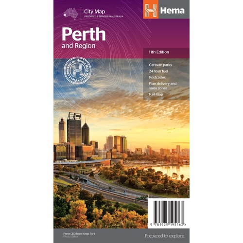
Perth suburbs and city on one side, the wider region and Fremantle on the other.
$11.95 · View
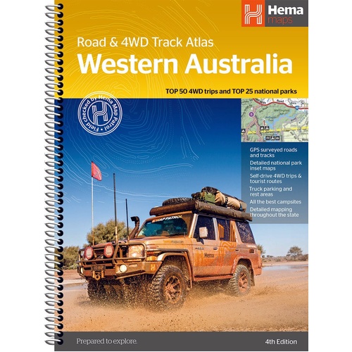
Atlas mapping of all of WA with the state's Top 50 4WD trips.
$44.95 · View
| Brand | Hema Maps |
| Authors | Michael and Jane Pelusey |
| Edition | 1st |
| Publication date | 1/03/2014 |
| ISBN | 9781865006215 |
| Pages | 176 |
| Binding | Spiral bound |
| Size (W x H x D) | 215 x 297 x 15 mm |
| Weight | 705 g |
| SKU | 9781865006215 |
| Barcode # | 9781865006215 |
| Brand | Hema Maps |
| Shipping Weight | 0.7050kg |
| Shipping Width | 0.215m |
| Shipping Height | 0.015m |
| Shipping Length | 0.297m |
Hema Maps has been mapping Australia since 1983, with touring and 4WD maps built from tracks its own teams have driven and GPS-surveyed. Hema Maps began in 1983, when Henry and Margaret Boegheim started laminating marine charts from their family home in South East Queensland, naming the business aft...
Find Out More
Make 4 payments of $12.49 over 8 weeks with

Make 4 payments of $7.49 over 8 weeks with

This item is currently on back order and may require additional processing time.
This is a non-stocked item and may require additional processing time. Please click here for more information.