

Hema K'gari (Fraser Island) & the Brisbane Islands Atlas & G
Make 4 payments of $12.49 over 8 weeks with

In Stock - In Stock at Supplier - Item Ships in 2-5 business days
Special Order Item - Terms and Conditions apply.
Need it fast? Contact us to confirm lead times.
Pickup currently unavailable.
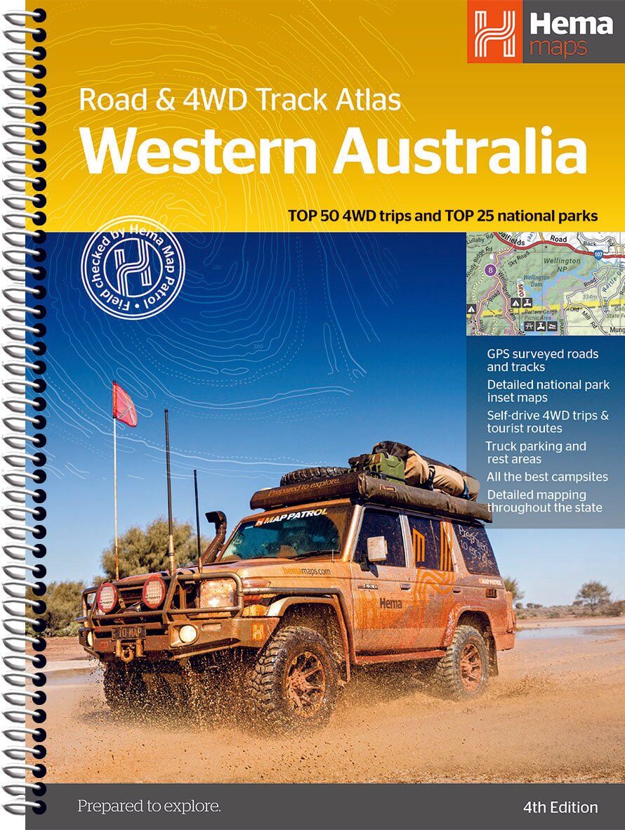


Every corner of WA, road and track
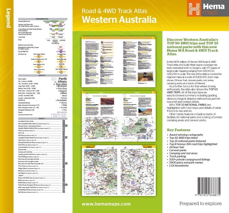
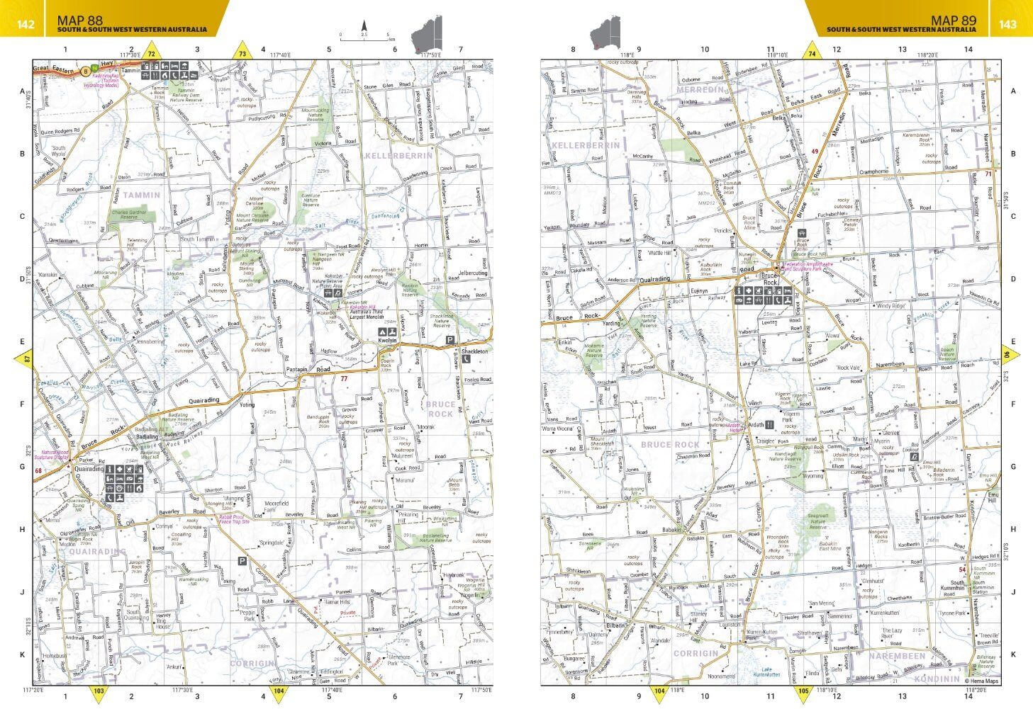
Australia's biggest state needs a proper atlas. This one maps the whole of Western Australia, with detailed 1:250,000 coverage, the Top 50 4WD trips and the Top 25 national parks, so you can plan the big trip and navigate it on the ground.
Hema Maps has been mapping Australia since 1983, and its Map Patrol team drives the roads and tracks to field-check the mapping first-hand.
Know the track before you go
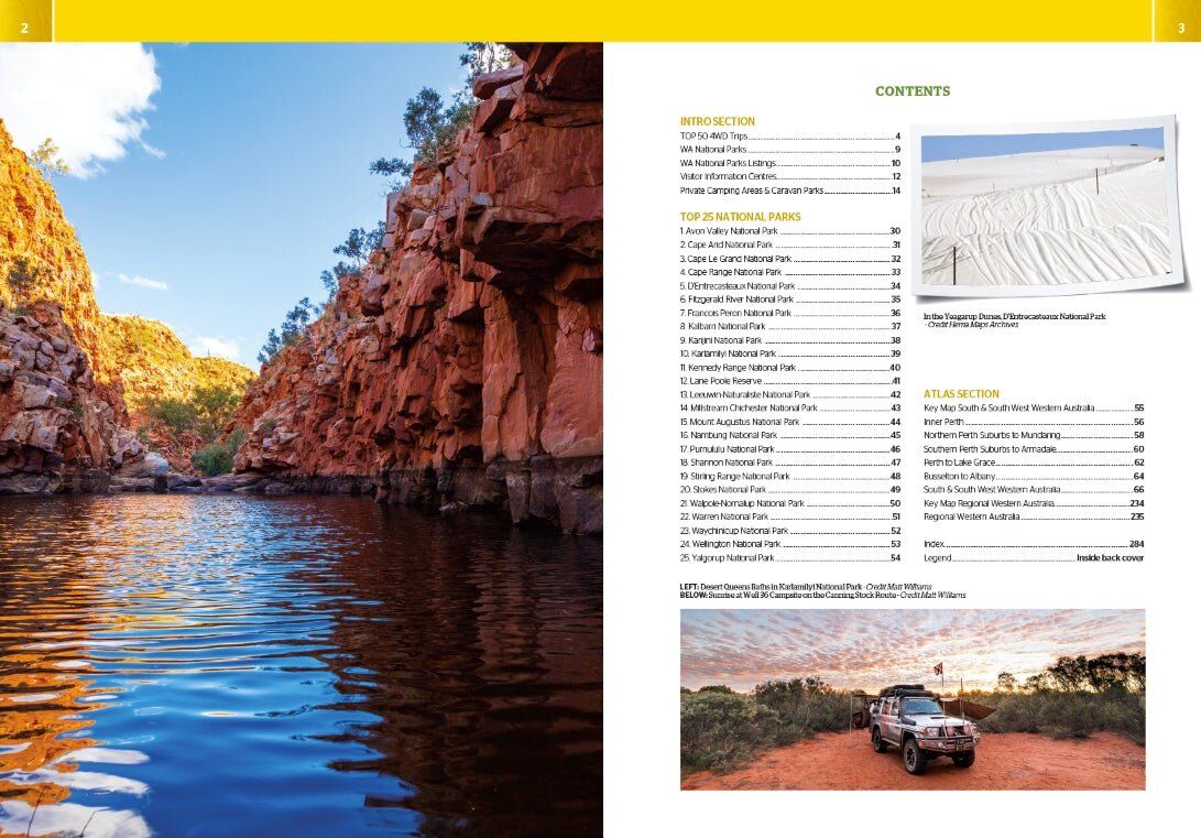
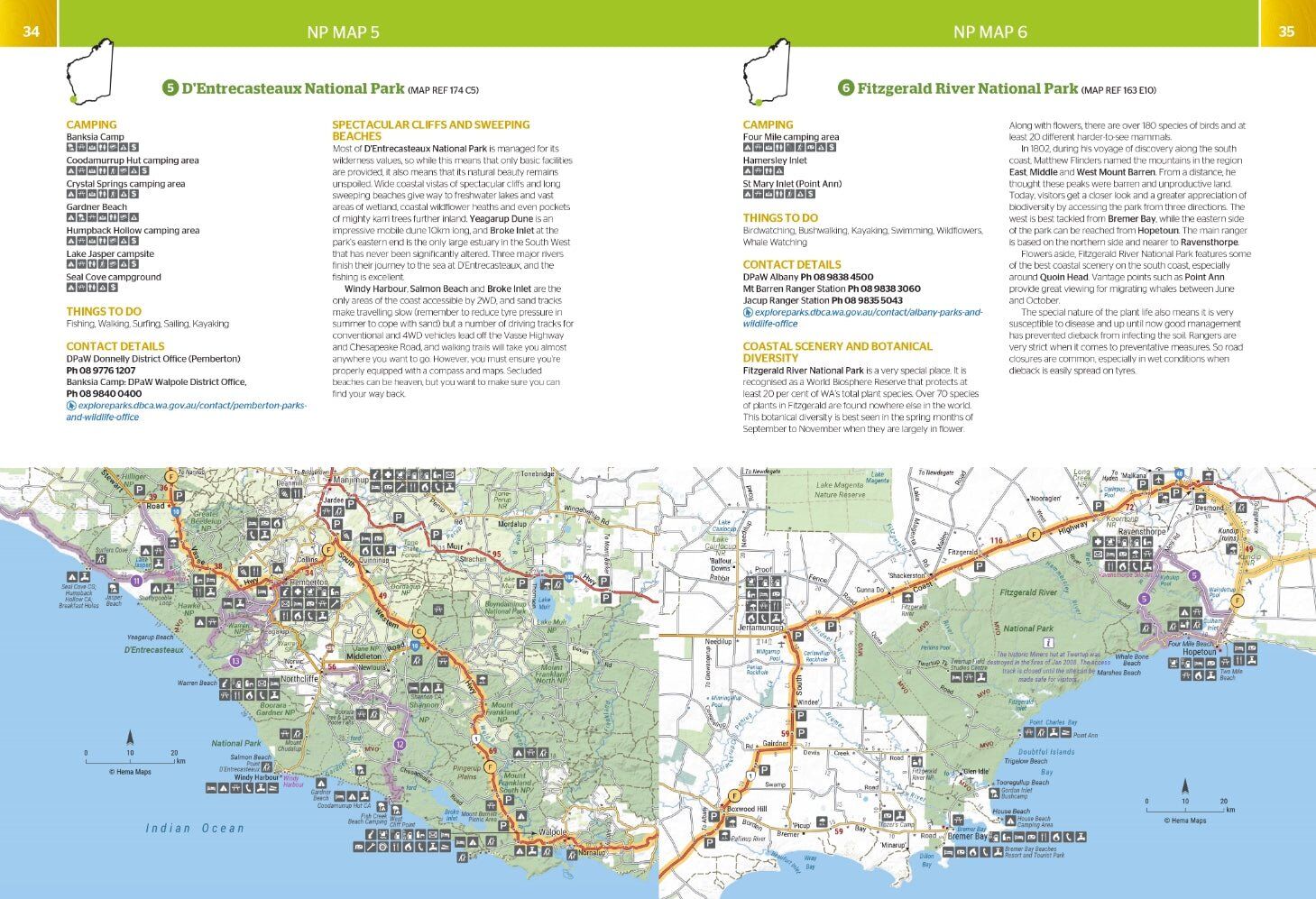
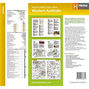
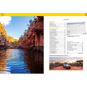
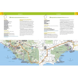
Each of the Top 50 4WD trips comes with a track grading, distances, contact information and an atlas reference. The Top 25 national parks get their own pages with camping areas, activities, contact details, inset maps and what makes each park special.
Detail across the whole state
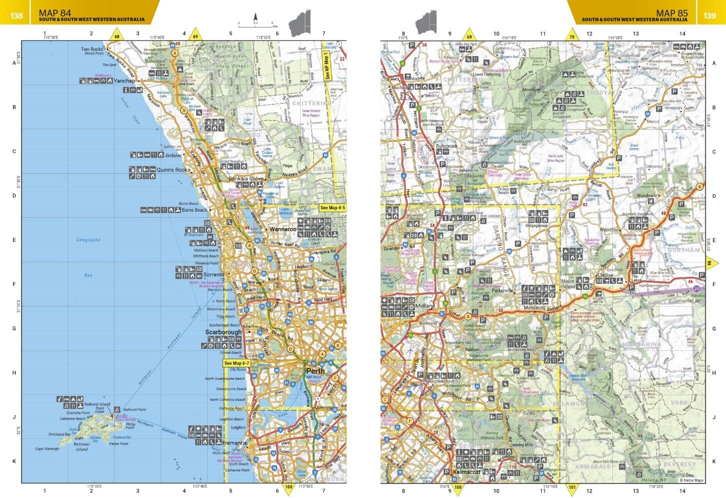
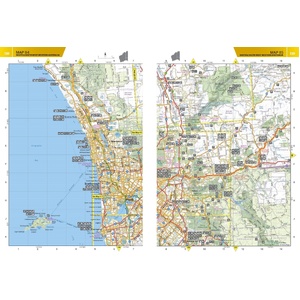
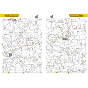
Detailed topographic mapping at 1:250,000 covers the state, from the South West to the Kimberley. Caravan parks, dump points, camping and rest areas, truck parking and visitor centres are marked right on the maps.
Find a place to stay
A listing of private camping areas and caravan parks gives you more choice of where to stop, and a full index and list of accredited visitor centres make it quick to find your way around the book.
This is the 4th edition (ISBN 9781922668875), with 211 pages.
Yes. The atlas maps the whole state, and the 4WD trips and national parks run from the South West to the Pilbara and the Kimberley.
Yes. Caravan parks, dump points, camping and rest areas, truck parking and visitor centres are marked, and private camping areas and caravan parks are listed.
It is 228 x 298 mm, spiral bound, and weighs about 1.14 kg.

Top 10 4WD trips in the Kimberley, including the Gibb River Road.
$49.95 · View


| Brand | Hema Maps |
| Title | Western Australia Road & 4WD Track Atlas |
| Edition | 4th |
| ISBN | 9781922668875 |
| Pages | 211 |
| Detailed mapping scale | 1:250,000 |
| Coverage | Western Australia |
| Binding | Spiral bound |
| Size (W x H) | 228 x 298 mm |
| Weight | 1.14 kg |
| SKU | 9781922668875 |
| Barcode # | 9781922668875 |
| Brand | Hema Maps |
| Shipping Weight | 1.1400kg |
Hema Maps has been mapping Australia since 1983, with touring and 4WD maps built from tracks its own teams have driven and GPS-surveyed. Hema Maps began in 1983, when Henry and Margaret Boegheim started laminating marine charts from their family home in South East Queensland, naming the business aft...
Find Out More
Make 4 payments of $12.49 over 8 weeks with

Make 4 payments of $7.49 over 8 weeks with

This item is currently on back order and may require additional processing time.
This is a non-stocked item and may require additional processing time. Please click here for more information.