

Hema Outback Queensland Map - Camooweal to Stanthorpe (5th E
Make 4 payments of $3.99 over 8 weeks with

In Stock - In Stock at Supplier - Item Ships in 2-5 business days
Special Order Item - Terms and Conditions apply.
Need it fast? Contact us to confirm lead times.
Pickup currently unavailable.
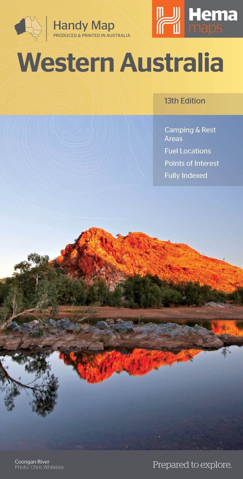
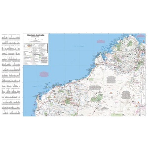


The whole of WA in your glovebox
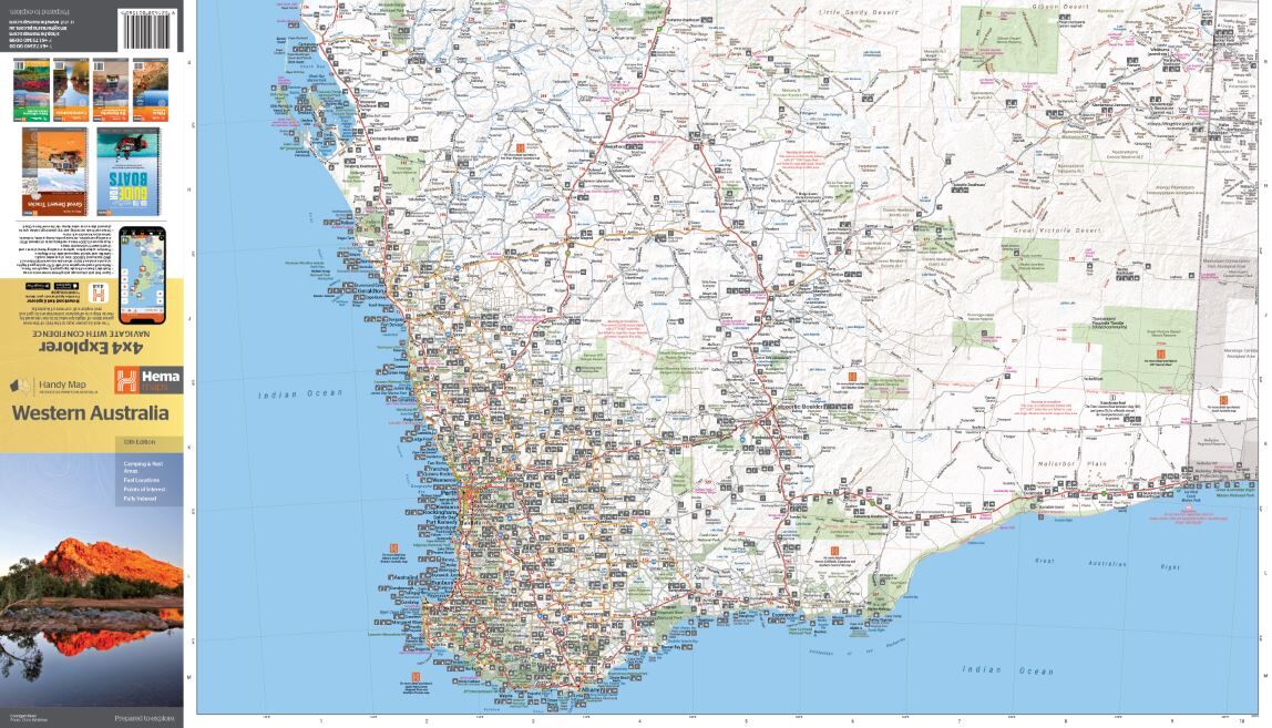
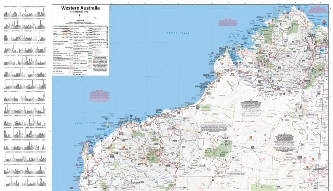
Doing a lap of the west or a road trip from Perth? Hema's Western Australia Handy Map shows the whole state on a compact sheet that slips into the glovebox, door pocket or daypack.
Hema Maps has been mapping Australia since 1983. The mapping is verified by the Hema Map Patrol.
All of Western Australia
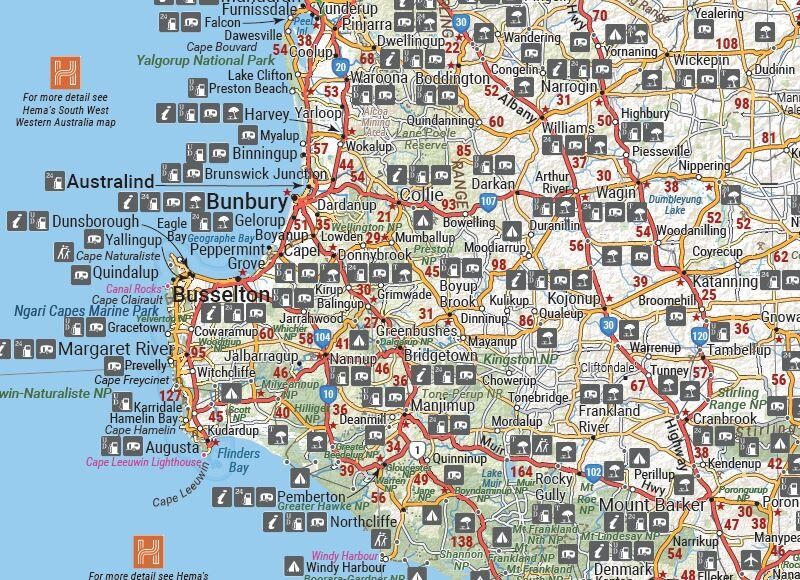
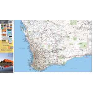
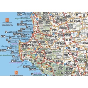
Highways, major and minor roads are shown across the state, along with camping and rest areas, 24-hour fuel, information centres, picnic areas, caravan parks and lookouts.
From the South West to the Kimberley
Clear symbols mark towns, camps and facilities in busy areas like the South West, and arrows point you to Hema's more detailed regional maps where you need them.
Remote roads, clearly marked
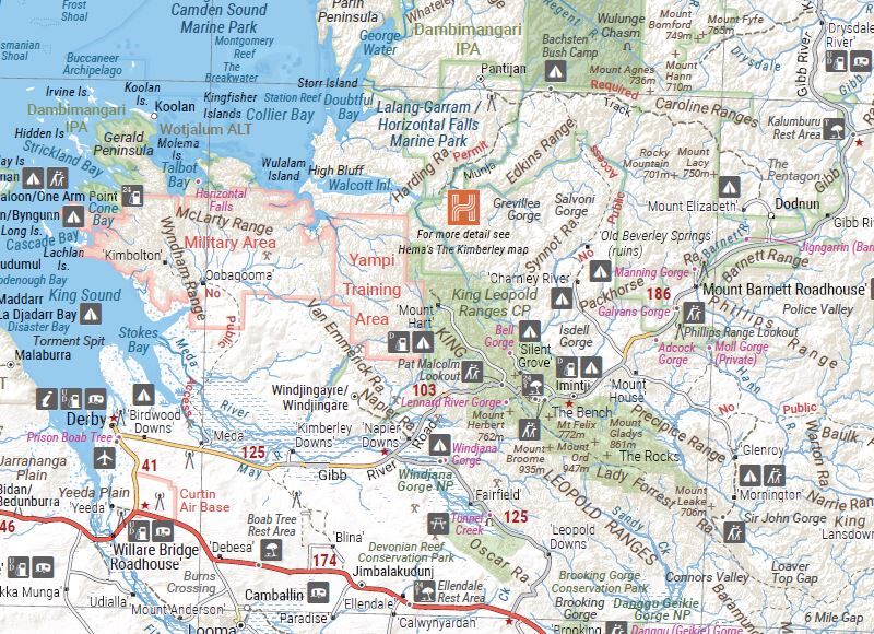
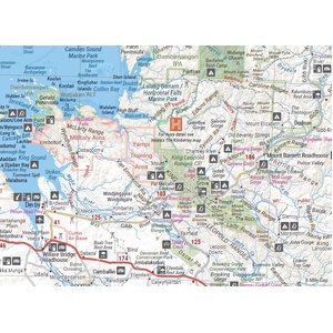
In the north, the map shows the Gibb River Road and the roads around Derby and the Dampier Peninsula, with roadhouses, camping areas and national parks marked.
It folds to 125 x 250 mm and opens to 500 x 875 mm.
This is the 13th edition.
Hema's spec lists standard paper for this map. For a larger waterproof map of WA, see the Hema Western Australia State Map below.
It is a compact state overview. For remote tracks, pair it with a regional Hema map such as the Kimberley or Pilbara and Coral Coast maps.


Shark Bay, Ningaloo Reef and the Pilbara in detail, on waterproof paper.
$15.95 · View
| Brand | Hema Maps |
| Title | Western Australia Handy Map |
| Series | Handy Map |
| Edition | 13th |
| Barcode | 9321438001560 |
| Paper | Standard paper |
| Folded size (W x H x D) | 125 x 250 x 3 mm |
| Flat size (W x H) | 500 x 875 mm |
| Weight | 68 g |
| SKU | 9321438001560 |
| Barcode # | 9321438001560 |
| Brand | Hema Maps |
| Shipping Weight | 0.0600kg |
| Shipping Width | 0.140m |
| Shipping Height | 0.005m |
| Shipping Length | 0.250m |
Hema Maps has been mapping Australia since 1983, with touring and 4WD maps built from tracks its own teams have driven and GPS-surveyed. Hema Maps began in 1983, when Henry and Margaret Boegheim started laminating marine charts from their family home in South East Queensland, naming the business aft...
Find Out More
Make 4 payments of $3.99 over 8 weeks with

Make 4 payments of $9.99 over 8 weeks with

Make 4 payments of $2.99 over 8 weeks with
This item is currently on back order and may require additional processing time.
This is a non-stocked item and may require additional processing time. Please click here for more information.