


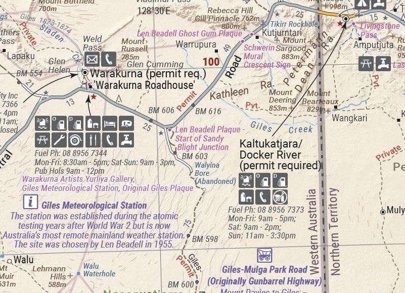
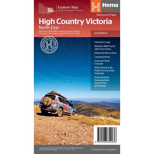
Hema The Victorian High Country - North Eastern Map 1:100,00
Make 4 payments of $3.99 over 8 weeks with

In Stock - In Stock at Supplier - Item Ships in 2-5 business days
Special Order Item - Terms and Conditions apply.
Need it fast? Contact us to confirm lead times.
Pickup currently unavailable.




Cross the central deserts with the right map
Planning the Tanami, Googs Track or a run along the Anne Beadell? The Central Sheet covers the heart of Australia's desert country, from Judbarra/Gregory National Park in the north to Ceduna in the south, and from Halls Creek across to Coober Pedy.

Hema Maps has been mapping Australia since 1983. The Great Desert Tracks series is field checked by the Hema Map Patrol, the team that drives the outback roads and tracks to check the mapping first-hand.
The big tracks of the centre
This sheet takes in some of Australia's best-known desert crossings, with roads and 4WD tracks, distance markers and topographic relief across the whole area.


Detail where it counts
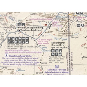
Roadhouses and communities carry clear service symbols, so you can see at a glance where to find fuel, food, water, a phone or a mechanic. Distances between points help you plan fuel and water for each leg.
Desert travel advice on the sheet
Alongside the mapping you get notes on travelling in the desert, what to take on the trip and the contacts you may need, all on the same sheet that rides in the vehicle with you.

Yes. Great Desert Tracks maps are printed on durable, waterproof paper, so they cope with dust, spills and wet hands.
This is the 9th edition of the Great Desert Tracks Central Sheet (ISBN 9781922668080).
From Judbarra/Gregory National Park in the north to Ceduna in the south, and from Halls Creek in the west to Coober Pedy in the east.
For longer crossings, often yes. The Eastern and Western sheets join on either side, and the Map Pack bundles all four Great Desert Tracks maps with a map wallet.
Some desert tracks need permits. The sheet includes relevant contact information, but always check current permit requirements before you travel.

The Birdsville, Strzelecki and Oodnadatta tracks east of Alice Springs.
$15.95 · View
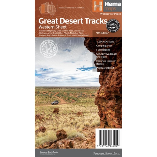
The Canning Stock Route, Gunbarrel and Great Central Road in the west.
$15.95 · View
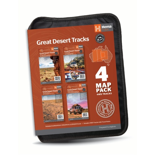
All four Great Desert Tracks maps in a tough map wallet.
$69.95 · View
| Brand | Hema Maps |
| Title | Great Desert Tracks: Central Sheet |
| Series | Great Desert Tracks |
| Edition | 9th |
| ISBN | 9781922668080 |
| Scale | 1:1,250,000 |
| Key tracks | Googs Track, Nullarbor Plain, Oodnadatta Track, Anne Beadell Highway (East), Tanami Road, Gary Junction Road, Sandy Blight Junction Track |
| Paper | Waterproof paper |
| Folded size (W x H) | 140 x 250 mm |
| Flat size (W x H) | 700 x 1000 mm |
| SKU | 9781922668080 |
| Barcode # | 9781922668080 |
| Brand | Hema Maps |
| Shipping Weight | 0.0550kg |
| Shipping Width | 0.140m |
| Shipping Height | 0.005m |
| Shipping Length | 0.250m |
Hema Maps has been mapping Australia since 1983, with touring and 4WD maps built from tracks its own teams have driven and GPS-surveyed. Hema Maps began in 1983, when Henry and Margaret Boegheim started laminating marine charts from their family home in South East Queensland, naming the business aft...
Find Out More
Make 4 payments of $3.99 over 8 weeks with

Make 4 payments of $3.99 over 8 weeks with
Make 4 payments of $3.99 over 8 weeks with

This item is currently on back order and may require additional processing time.
This is a non-stocked item and may require additional processing time. Please click here for more information.