


Hema The Victorian High Country - North Eastern Map 1:100,00
Make 4 payments of $3.99 over 8 weeks with

In Stock - In Stock at Supplier - Item Ships in 2-5 business days
Special Order Item - Terms and Conditions apply.
Need it fast? Contact us to confirm lead times.
Pickup currently unavailable.


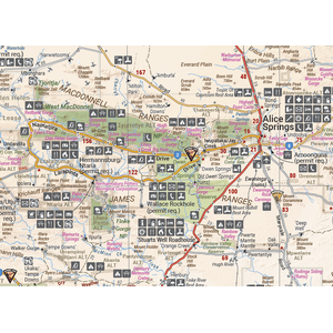
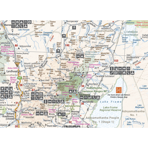
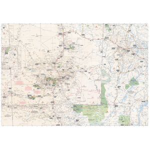


See the whole of the Centre on one map
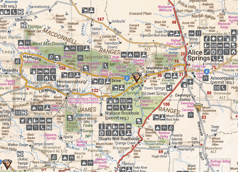
From Alice Springs and Uluru out to the Simpson Desert, this Hema map covers some of Australia's most iconic landscapes. It's the big-picture map for planning an outback loop, with the fuel, camps, national parks and permit areas you need to know about before you set off.

Hema Maps has been mapping Australia's outback since 1983. Roads and tracks on this map are GPS surveyed, and the cover carries Hema's Map Patrol field-checked seal.
Alice Springs to the Simpson Desert
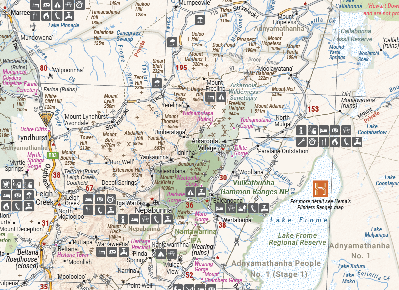
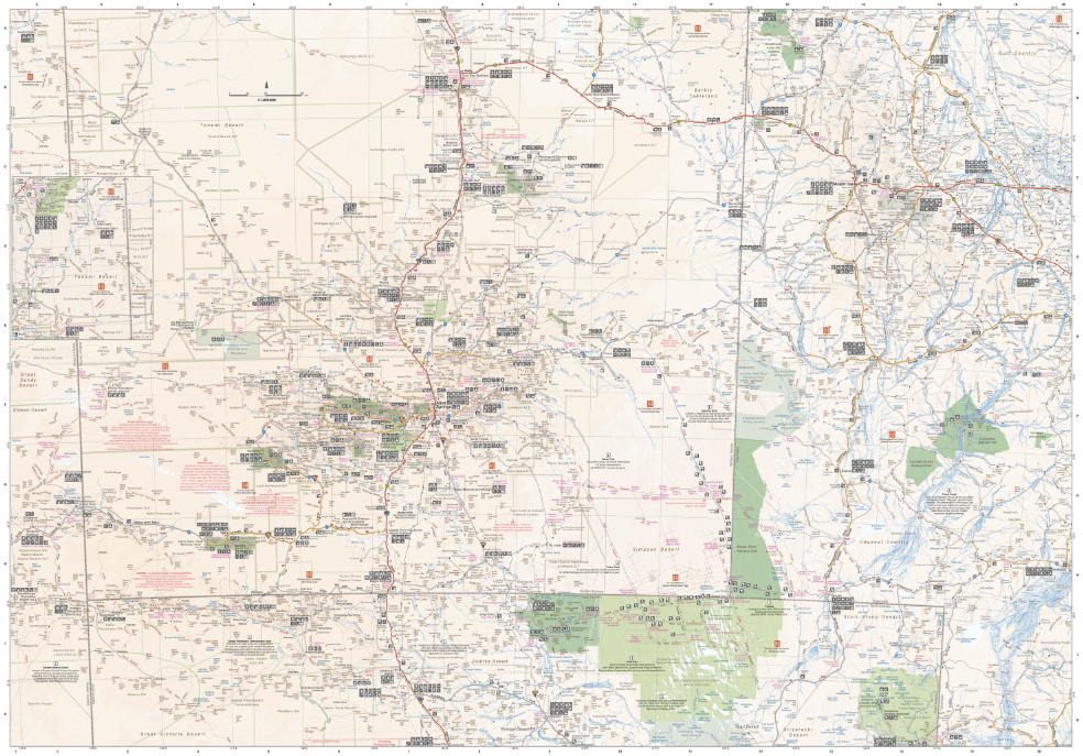
The main map covers the area around Alice Springs, including Uluru, Kata Tjuta and the West MacDonnell Range, as well as the Simpson Desert and popular tracks such as the Hay River Track. The mapping runs across both sides of the sheet at 1:1,500,000.

Touring notes on the reverse
Alongside the mapping you'll find a table of national parks and reserves with their facilities, such as toilets, showers, camping and barbecues. There is also a listing of information centres and notes on the area's heritage and exploration, contemporary tourism, outback etiquette, desert tracks and hiking.
The area around Alice Springs, including Uluru, Kata Tjuta and the West MacDonnell Range, plus the Simpson Desert and popular tracks such as the Hay River Track.
Yes. It has extensive detail on Indigenous areas and where permits are required. Always check current permit requirements with the relevant authority before you travel.
This map shows the wider region at 1:1,500,000, out to the Simpson Desert. The Hema Red Centre map zooms in on Alice Springs to Uluru at 1:550,000 for more touring detail.
This is the 11th edition (ISBN 9781925625738).

Alice Springs to Uluru in closer detail at 1:550,000, on waterproof paper.
$15.95 · View

Simpson Desert crossings, with tracks field checked by the Hema Map Patrol.
$15.95 · View

| Brand | Hema Maps |
| Title | Central Australia |
| Series | Iconic Map |
| Edition | 11th |
| Publication date | April 2019 |
| ISBN | 9781925625738 |
| Scale | 1:1,500,000 |
| Flat size (W x H) | 700 x 1000 mm |
| SKU | 9781925625738 |
| Barcode # | 9781925625738 |
| Brand | Hema Maps |
| Shipping Weight | 0.0700kg |
| Shipping Width | 0.140m |
| Shipping Height | 0.005m |
| Shipping Length | 0.250m |
Hema Maps has been mapping Australia since 1983, with touring and 4WD maps built from tracks its own teams have driven and GPS-surveyed. Hema Maps began in 1983, when Henry and Margaret Boegheim started laminating marine charts from their family home in South East Queensland, naming the business aft...
Find Out More
Make 4 payments of $3.99 over 8 weeks with

Make 4 payments of $3.99 over 8 weeks with
Make 4 payments of $3.99 over 8 weeks with

This item is currently on back order and may require additional processing time.
This is a non-stocked item and may require additional processing time. Please click here for more information.