


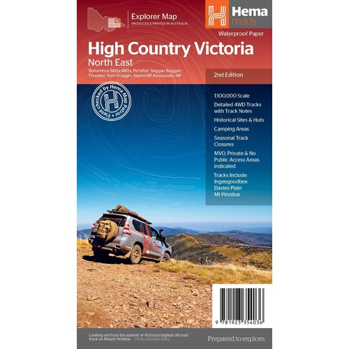
Hema The Victorian High Country - North Eastern Map 1:100,00
Make 4 payments of $3.99 over 8 weeks with

In Stock - In Stock at Supplier - Item Ships in 2-5 business days
Special Order Item - Terms and Conditions apply.
Need it fast? Contact us to confirm lead times.
Pickup currently unavailable.


Your companion for the trip to the Tip
Whether you just want to reach the Tip or you are after a serious 4WD challenge, this is the book to pack. Hema's Cape York Atlas & Guide covers the whole Cape, from Cairns and Cooktown to Rinyirru (Lakefield) National Park, the Old Telegraph Track, the Torres Strait and the Savannah Way.

Hema Maps has been mapping Australia since 1983. The mapping in this guide is field-checked by the Hema Map Patrol, and the 15 trips were explored and updated by travel journalist Ian Glover, with photography by Matt Williams.
Bucket lists for every region
Chapters work up the Cape region by region, with bucket lists of the sights not to miss and some of the lesser known places favoured by the experts. The guide also draws on the Cape York Travel & Adventure Guide by Ron and Viv Moon.


15 top trips, each with its own map
Each trip has a detailed map plus the planning basics: trip grading, the longest distance without fuel, permits and contact details. Trips include the Old Telegraph Track and Frenchmans Track.
Detailed road atlas, right to the Tip
A detailed road atlas for Cape York, including mapping of the Tip, is in Hema's newer, easier-to-read style with the latest points of interest and facilities. Fuel, camping areas and rest areas are marked.

Yes. The Old Telegraph Track and Frenchmans Track are among the 15 featured 4WD trips, each with its own detailed map.
The guide includes a detailed road atlas for Cape York. Many travellers also carry a folded Hema Cape York map for a big-picture view.
Each trip lists permits and contact details. Check current permit and access requirements before you travel, as they can change.
This is the 5th edition (ISBN 9781876413439), with 22 atlas pages in Hema's new cartographic style.


Mackay to the tip of Cape York, with inset maps of the Whitsundays and coast.
$15.95 · View

Holds one A4-size atlas or book plus four folded maps in one place.
$34.95 · View
| Brand | Hema Maps |
| Title | Cape York Atlas & Guide |
| Edition | 5th |
| ISBN | 9781876413439 |
| Pages | 208 |
| Atlas pages | 22 |
| 4WD trips | 15 |
| Binding | Spiral bound |
| Weight | 1.34 kg |
| SKU | 9781876413439 |
| Barcode # | 9781876413439 |
| Brand | Hema Maps |
| Shipping Weight | 1.3400kg |
| Shipping Width | 0.300m |
| Shipping Height | 0.050m |
| Shipping Length | 0.200m |
| Shipping Cubic | 0.003000000m3 |
Hema Maps has been mapping Australia since 1983, with touring and 4WD maps built from tracks its own teams have driven and GPS-surveyed. Hema Maps began in 1983, when Henry and Margaret Boegheim started laminating marine charts from their family home in South East Queensland, naming the business aft...
Find Out More
Make 4 payments of $3.99 over 8 weeks with

Make 4 payments of $3.99 over 8 weeks with

Make 4 payments of $3.99 over 8 weeks with
This item is currently on back order and may require additional processing time.
This is a non-stocked item and may require additional processing time. Please click here for more information.