

Hema K'gari (Fraser Island) & the Brisbane Islands Atlas & G
Make 4 payments of $12.49 over 8 weeks with

In Stock - In Stock at Supplier - Item Ships in 2-5 business days
Special Order Item - Terms and Conditions apply.
Need it fast? Contact us to confirm lead times.
Pickup currently unavailable.
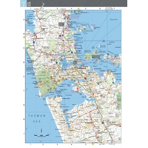
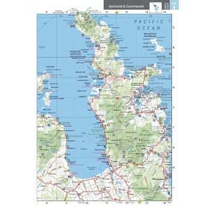


Tour both islands of Aotearoa
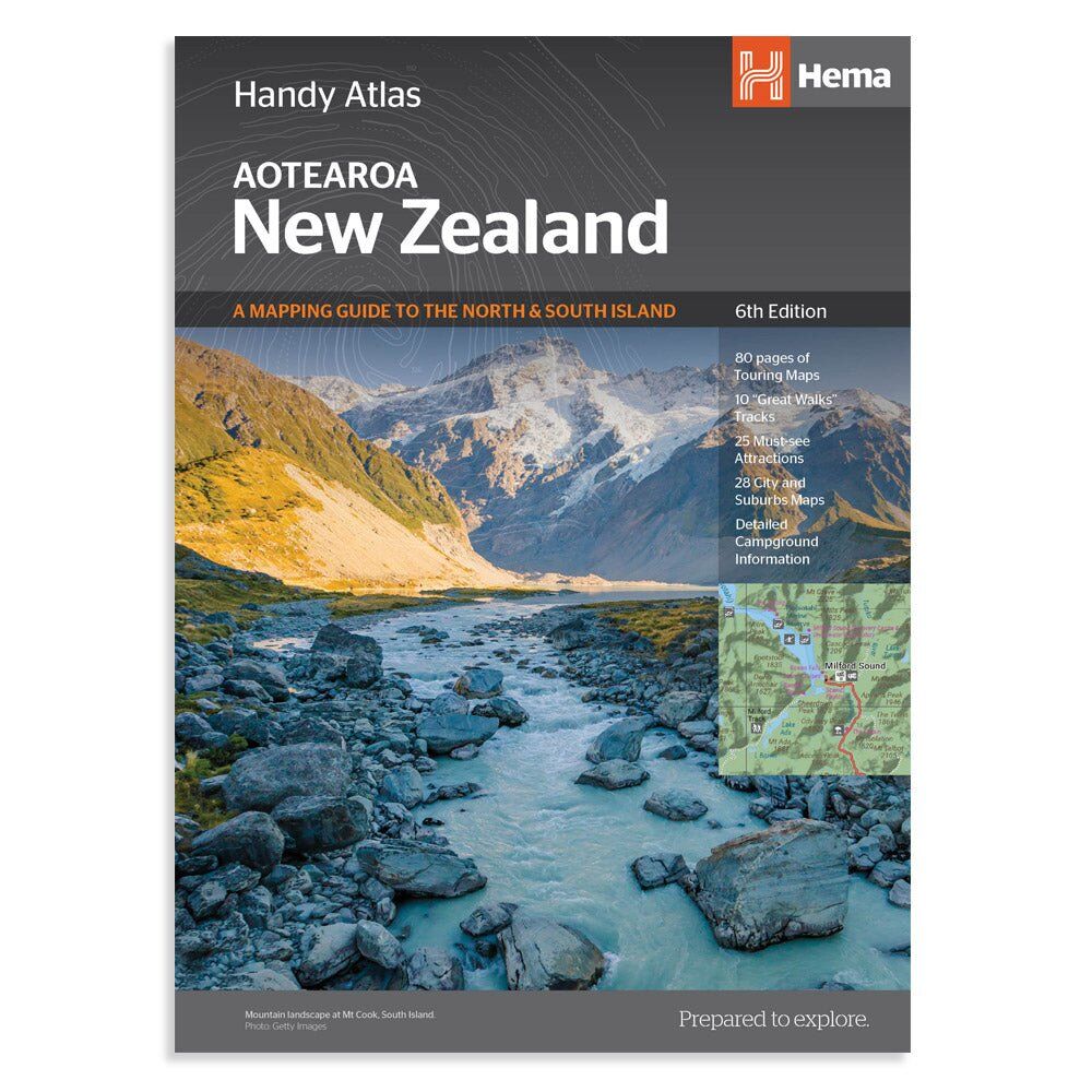
Planning a campervan or motorhome trip across the ditch? The New Zealand Handy Atlas covers the North and South Islands with clear, up-to-date mapping, plus campgrounds, city maps and the Great Walks, in a compact book that is easy to store in the van.
Hema Maps has been producing touring maps since 1983. This atlas brings the same easy-to-read style to New Zealand, so you spend less time planning and more time exploring.
Touring maps for every region
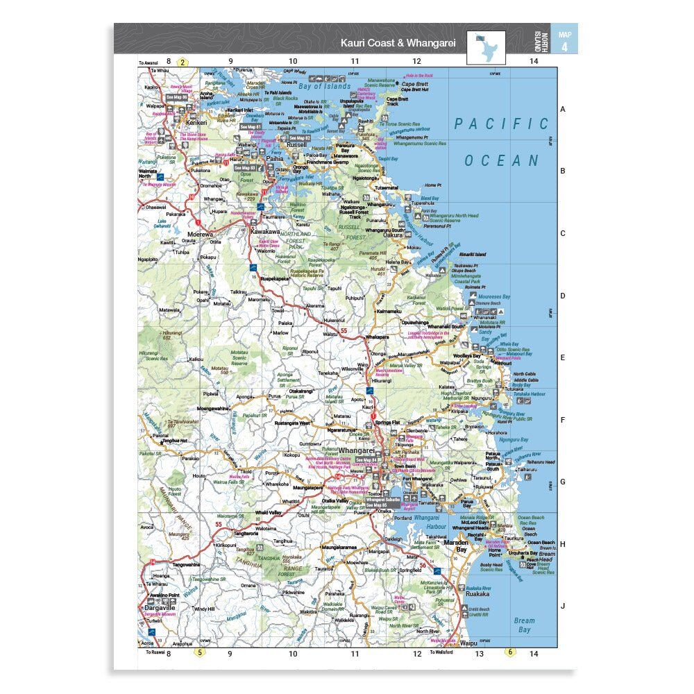
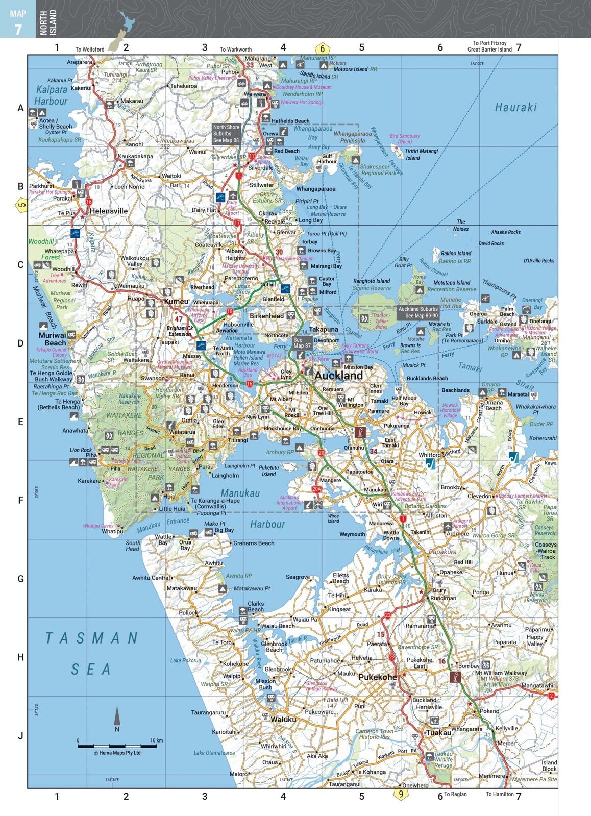
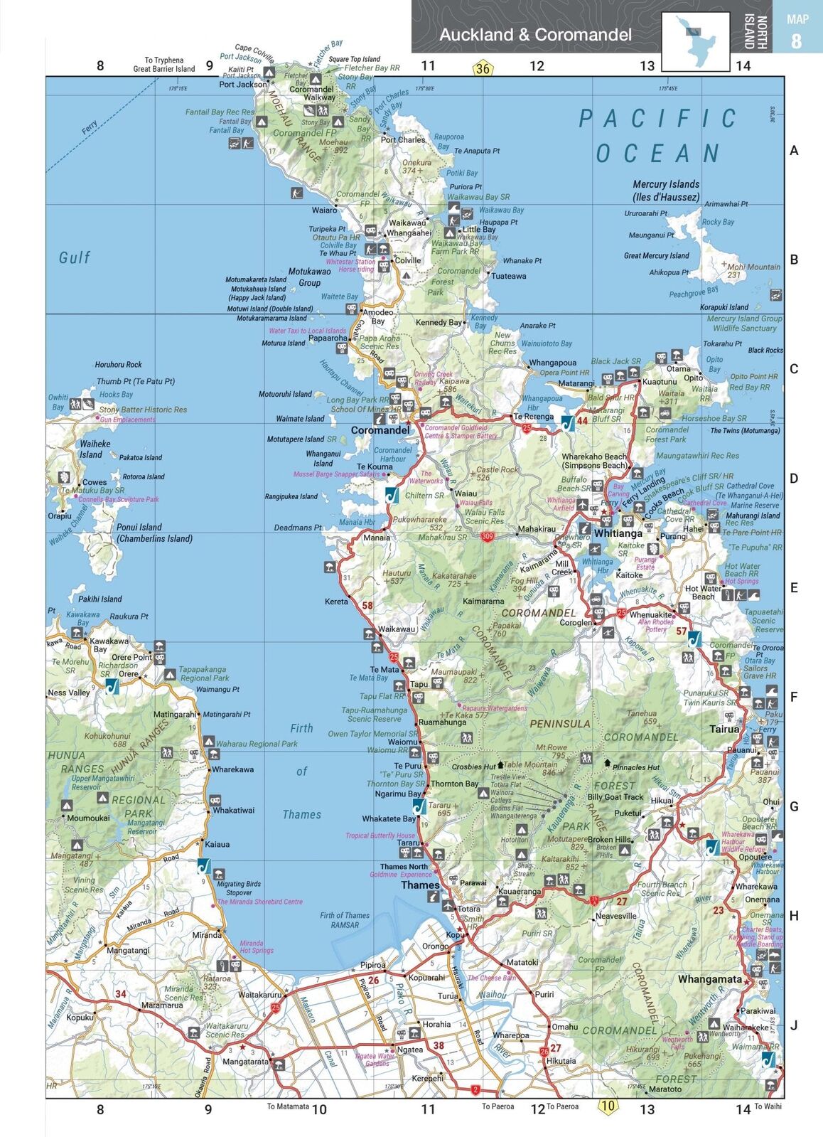
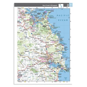
80 pages of touring maps take you from Northland to Southland. Towns, highways, campgrounds and points of interest are clearly marked, with a grid reference on every page.
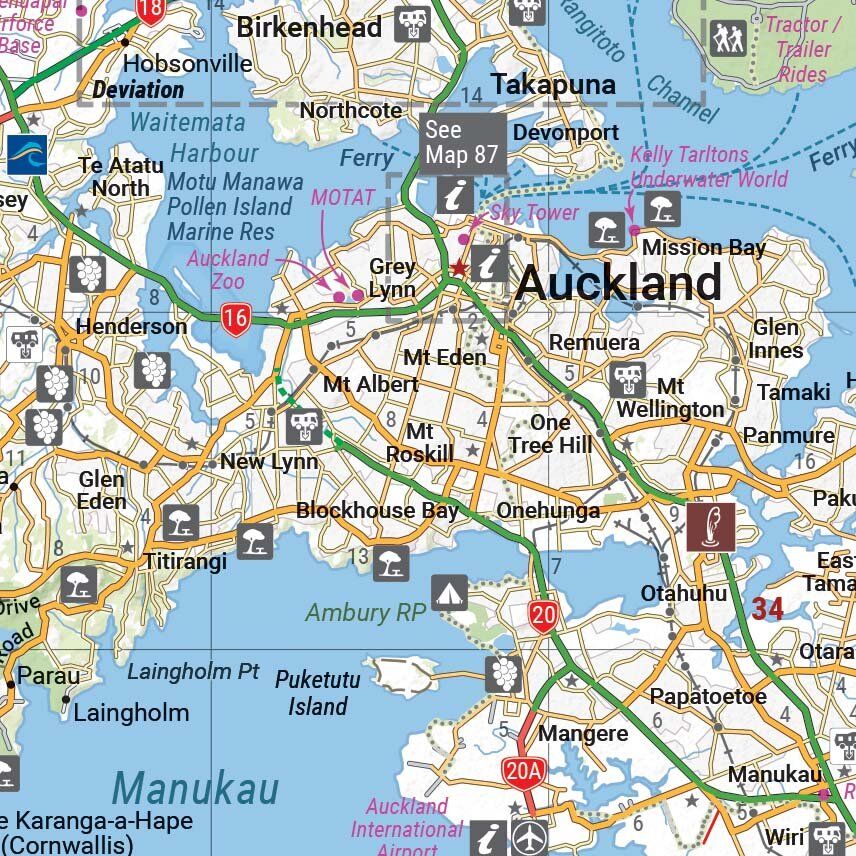
Find your way through town
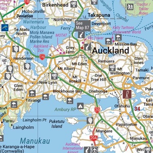
28 city and suburb maps help you get through Auckland and other centres without missing the turn-off to the holiday park, ferry or visitor centre.
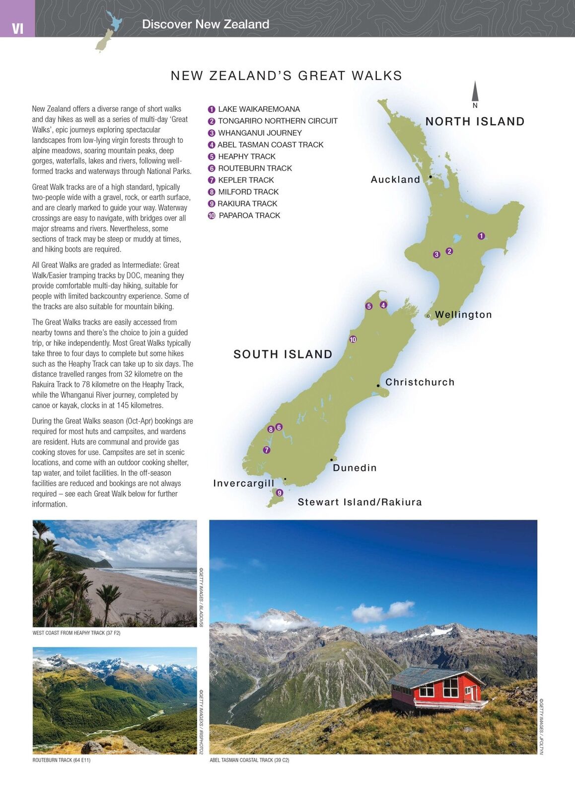
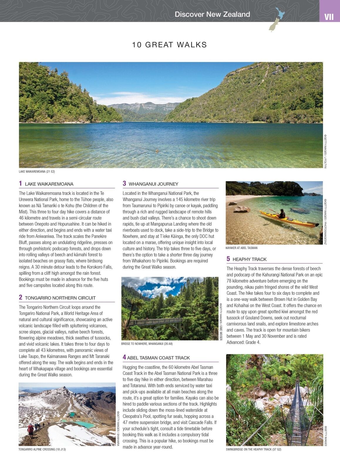
New Zealand's Great Walks
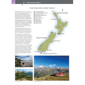
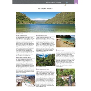
Updated information on 10 Great Walks, from Lake Waikaremoana and the Tongariro Northern Circuit to the Abel Tasman Coast Track and the Heaphy, helps you plan time out of the van.
Yes. It covers the North Island and the South Island, with 80 pages of touring maps and 28 city and suburb maps.
Yes. More than 1,500 motorhome parks, camping grounds and adventure activity locations are included, with detailed campground information.
It has updated information on 10 of New Zealand's Great Walks, including Lake Waikaremoana, the Tongariro Northern Circuit, the Abel Tasman Coast Track, the Heaphy Track and the Milford Track.
Both are 6th edition and list the same key content. The Handy Atlas is the compact 190 x 250 mm size; the Touring Atlas has larger pages.
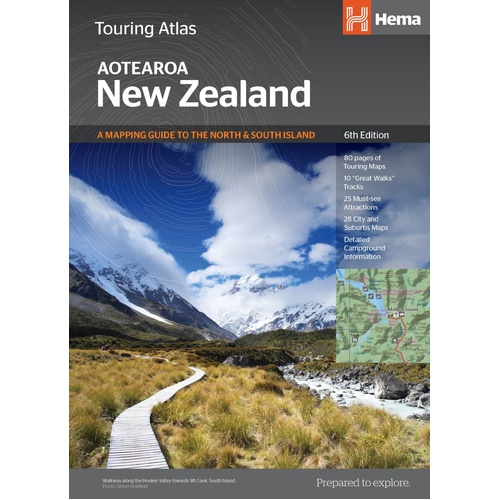
The same 6th edition content on larger pages for easier reading.
$39.95 · View
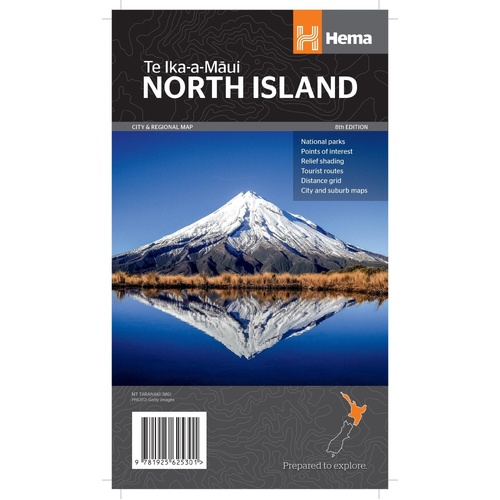
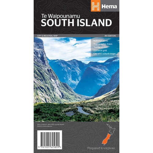
Fold-out Hema touring map of the South Island (Te Waipounamu).
$15.95 · View
| Brand | Hema Maps |
| Title | New Zealand Handy Atlas |
| Edition | 6th |
| Publication date | November 2018 |
| ISBN | 9781925625042 |
| Pages | 144 |
| Coverage | New Zealand, North and South Islands |
| Size (W x H x D) | 190 x 250 x 20 mm |
| Weight | 490 g |
| SKU | 9781925625042 |
| Barcode # | 9781925625042 |
| Brand | Hema Maps |
| Shipping Weight | 0.4900kg |
| Shipping Width | 0.190m |
| Shipping Height | 0.020m |
| Shipping Length | 0.250m |
Hema Maps has been mapping Australia since 1983, with touring and 4WD maps built from tracks its own teams have driven and GPS-surveyed. Hema Maps began in 1983, when Henry and Margaret Boegheim started laminating marine charts from their family home in South East Queensland, naming the business aft...
Find Out More
Make 4 payments of $12.49 over 8 weeks with

Make 4 payments of $7.49 over 8 weeks with

This item is currently on back order and may require additional processing time.
This is a non-stocked item and may require additional processing time. Please click here for more information.