

Hema Outback Queensland Map - Camooweal to Stanthorpe (5th E
Make 4 payments of $3.99 over 8 weeks with

In Stock - In Stock at Supplier - Item Ships in 2-5 business days
Special Order Item - Terms and Conditions apply.
Need it fast? Contact us to confirm lead times.
Pickup currently unavailable.
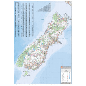
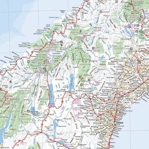


Touring Te Waipounamu, end to end
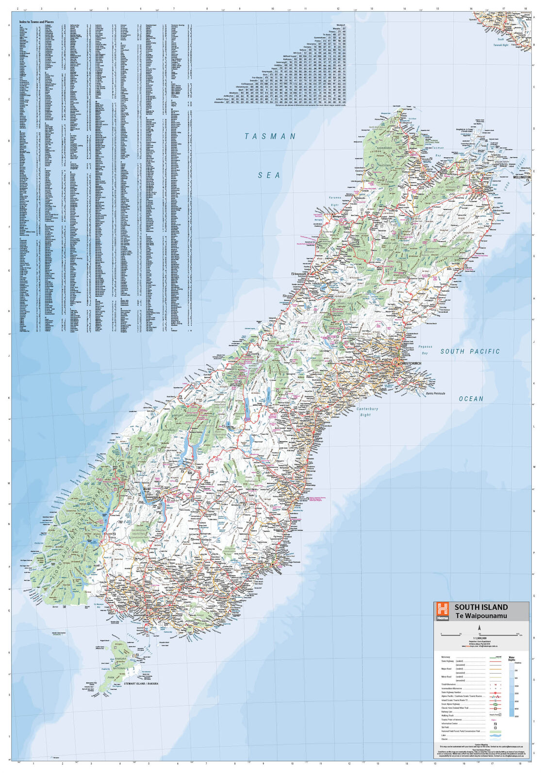
From the Marlborough Sounds to Fiordland, Hema's South Island map covers Te Waipounamu at 1:1,000,000. Tourist routes, walking tracks and national parks are marked for touring by campervan, car or on foot.
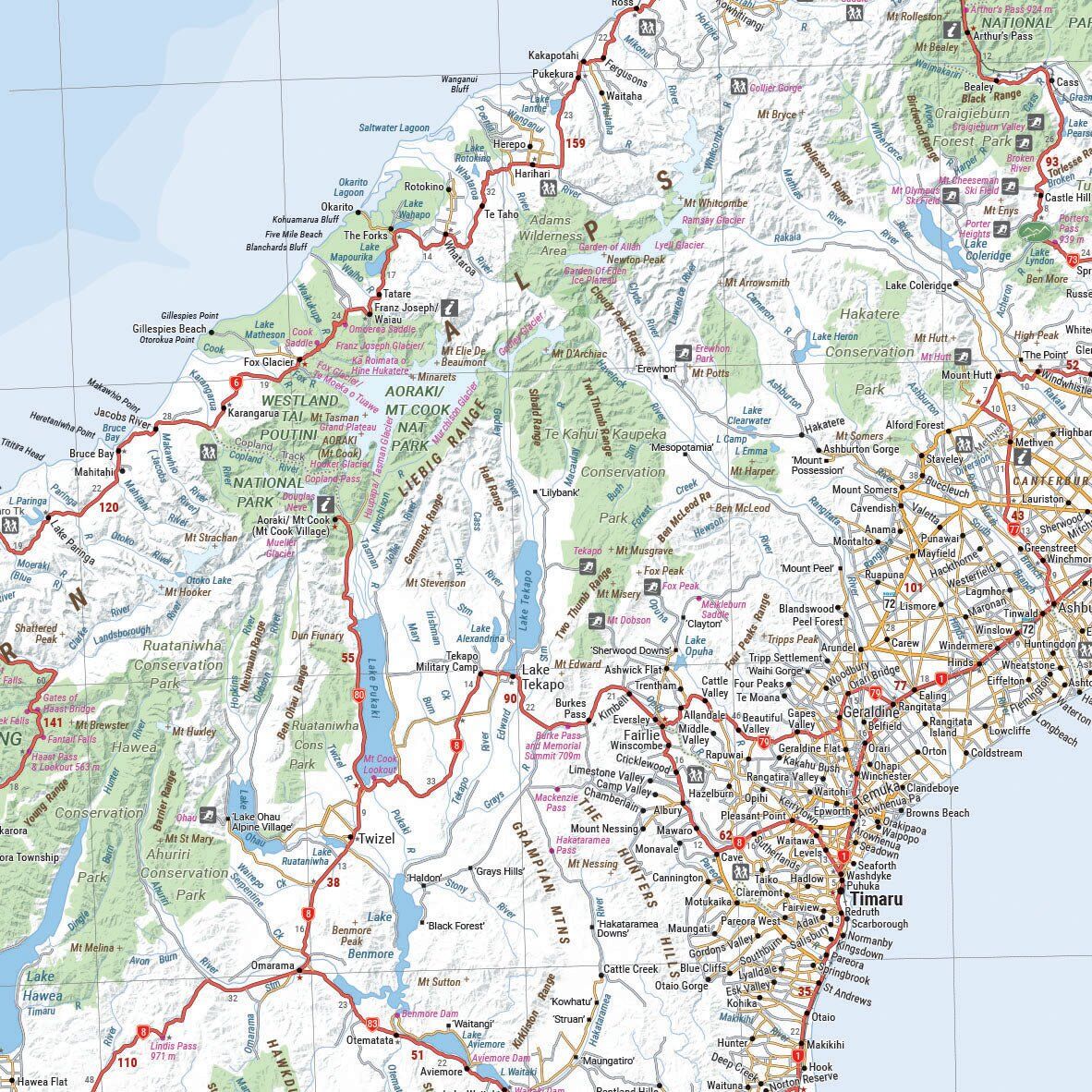
Topographic mapping shows the Southern Alps and the lakes, and a distance grid and full index help you plan each day.
Alps, lakes and touring routes
Points of interest, tourist routes, walking tracks and national parks are marked across the island, with topographic shading that shows the mountains and valleys you will drive through.
Detail on the back
The reverse has city maps of Christchurch, Picton, Nelson, Queenstown, Dunedin, Blenheim and Invercargill, suburb maps of Christchurch and Dunedin, and detailed maps of Fiordland, Kahurangi, Arthur's Pass and Aoraki national parks.
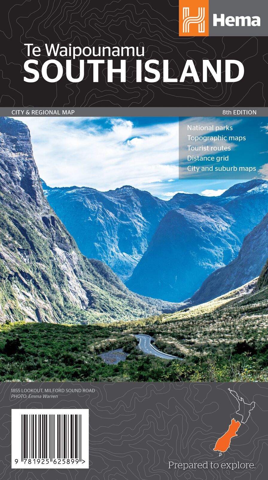
The road to Milford and beyond
Whether it is the West Coast, the Mackenzie Country or the road to Milford Sound, the map shows the touring routes and stops so you can plan a loop that suits your time.
This is the 8th edition (ISBN 9781925625899).
Christchurch, Picton, Nelson, Queenstown, Dunedin, Blenheim and Invercargill, plus suburb maps of Christchurch and Dunedin.
Fiordland, Kahurangi, Arthur's Pass and Aoraki.
No. For the North Island, see the Hema North Island map below, or the New Zealand Aotearoa map for both islands on one sheet.
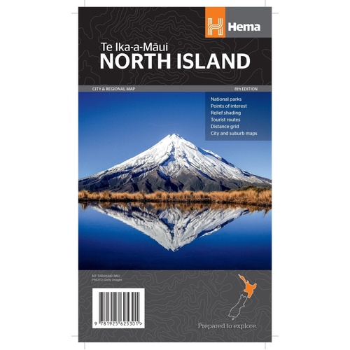
The North Island at 1:1,000,000, with 13 city maps on the reverse.
$15.95 · View
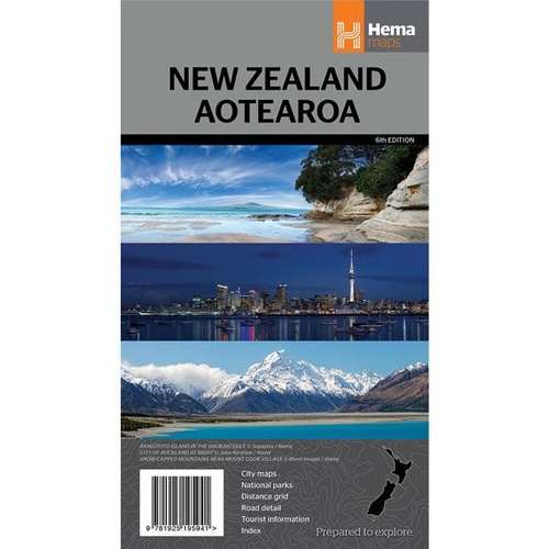
Both islands on one sheet at 1:1,600,000, with six city maps.
$15.95 · View
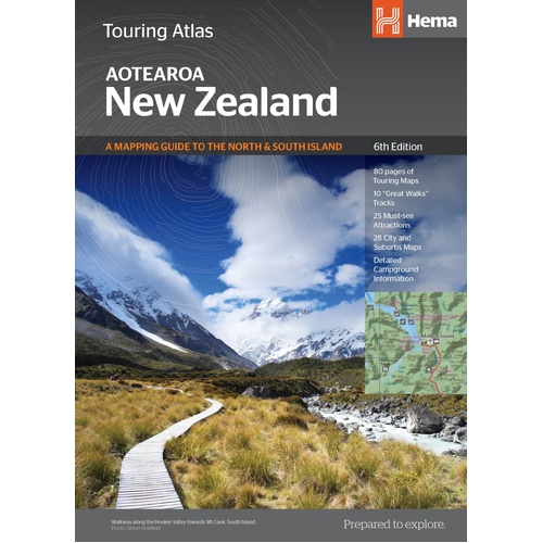
Hema's touring atlas of New Zealand for planning the whole trip.
$39.95 · View
| Brand | Hema Maps |
| Title | South Island New Zealand (Te Waipounamu) |
| Series | City & Regional Map |
| Edition | 8th |
| ISBN | 9781925625899 |
| Scale | 1:1,000,000 |
| Folded size (W x H x D) | 140 x 250 x 3 mm |
| Flat size (W x H) | 700 x 1000 mm |
| Weight | 90 g |
| SKU | 9781925625899 |
| Barcode # | 9781925625899 |
| Brand | Hema Maps |
| Shipping Weight | 0.0900kg |
| Shipping Width | 0.140m |
| Shipping Height | 0.003m |
| Shipping Length | 0.250m |
Hema Maps has been mapping Australia since 1983, with touring and 4WD maps built from tracks its own teams have driven and GPS-surveyed. Hema Maps began in 1983, when Henry and Margaret Boegheim started laminating marine charts from their family home in South East Queensland, naming the business aft...
Find Out More
Make 4 payments of $3.99 over 8 weeks with

Make 4 payments of $9.99 over 8 weeks with

Make 4 payments of $2.99 over 8 weeks with
This item is currently on back order and may require additional processing time.
This is a non-stocked item and may require additional processing time. Please click here for more information.