

Hema Outback Queensland Map - Camooweal to Stanthorpe (5th E
Make 4 payments of $3.99 over 8 weeks with

In Stock - In Stock at Supplier - Item Ships in 2-5 business days
Special Order Item - Terms and Conditions apply.
Need it fast? Contact us to confirm lead times.
Pickup currently unavailable.
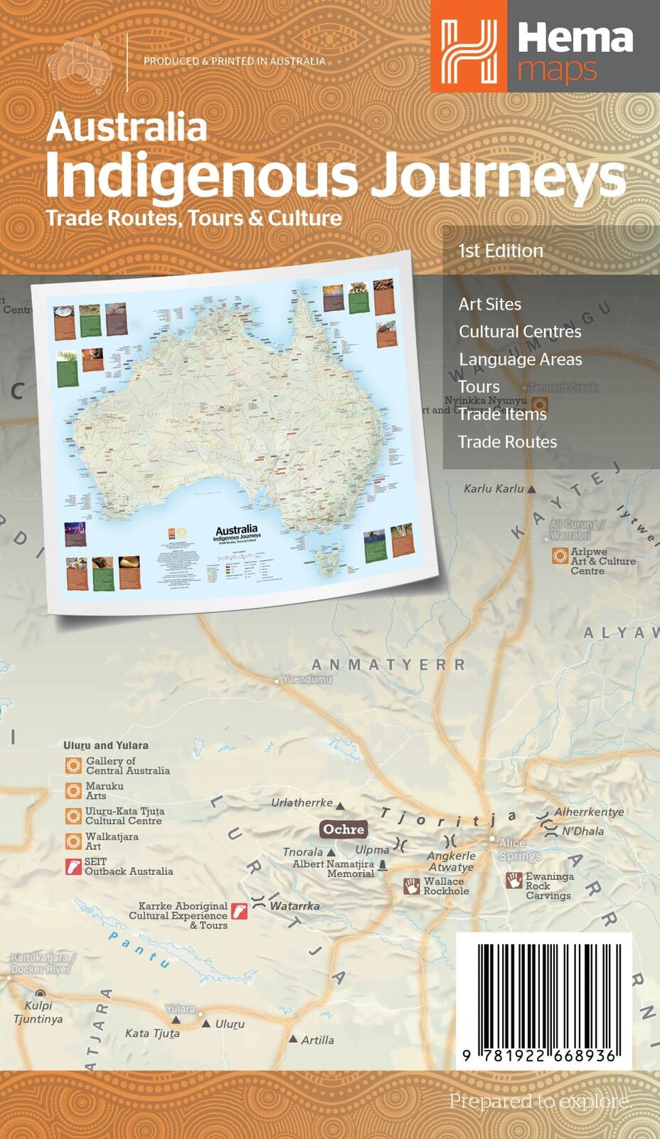
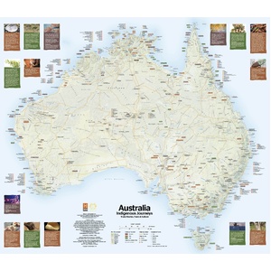
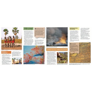
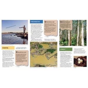


Explore the songlines of the oldest living culture
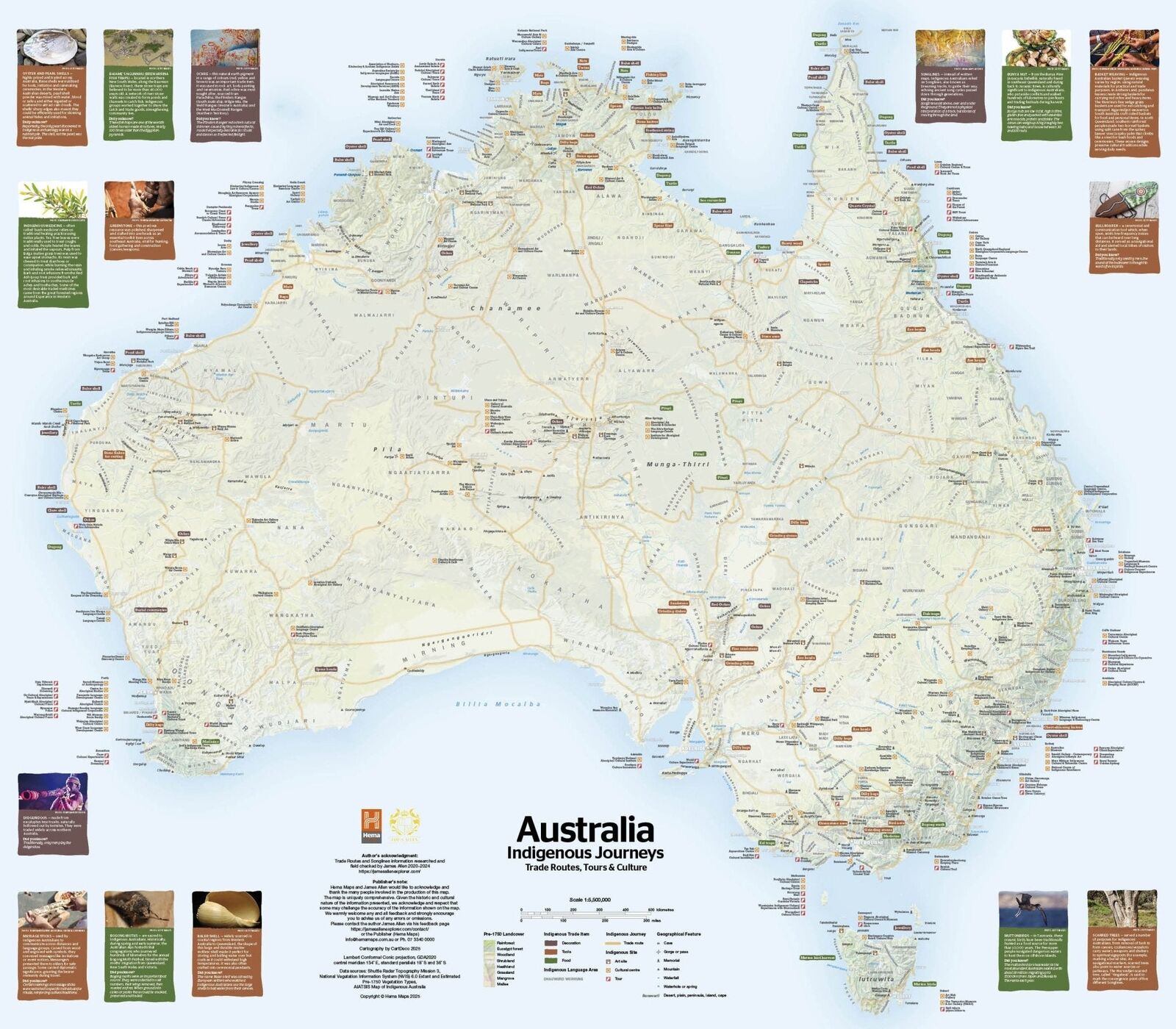
For more than 65,000 years, Aboriginal and Torres Strait Islander Peoples have travelled this land, trading, sharing knowledge and caring for Country. Hema's Indigenous Journeys Map shows these enduring connections through ancient trade routes, cultural pathways and songlines. It's a meaningful map for travellers, educators, students and families.
The map was created by Hema Maps with geologist and explorer James Allen from travels across the continent in 2020-24. It reflects guidance from Traditional Owners and cartographic expertise from Gunditjmara man Craig Molyneux.
Trade routes and pathways
Follow routes shaped by trade, ceremony, kinship and seasonal patterns across the continent. Some run for thousands of kilometres, guided by waterholes, gathering places and creation stories.
Traded goods and cultural centres
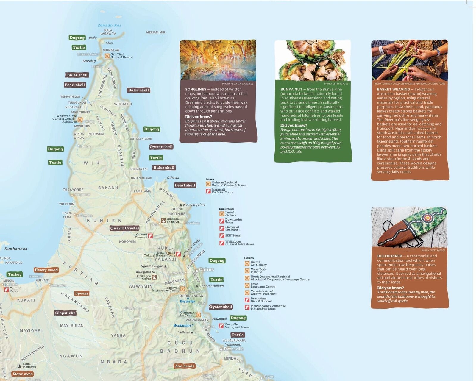
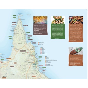
Learn about the vast array of resources that were traded, from ochre, shells and stone tools to ceremonial goods and native plants, and the networks that made it possible. Aboriginal experience and cultural centres are marked so you can continue the learning journey on the road.
Country before colonisation
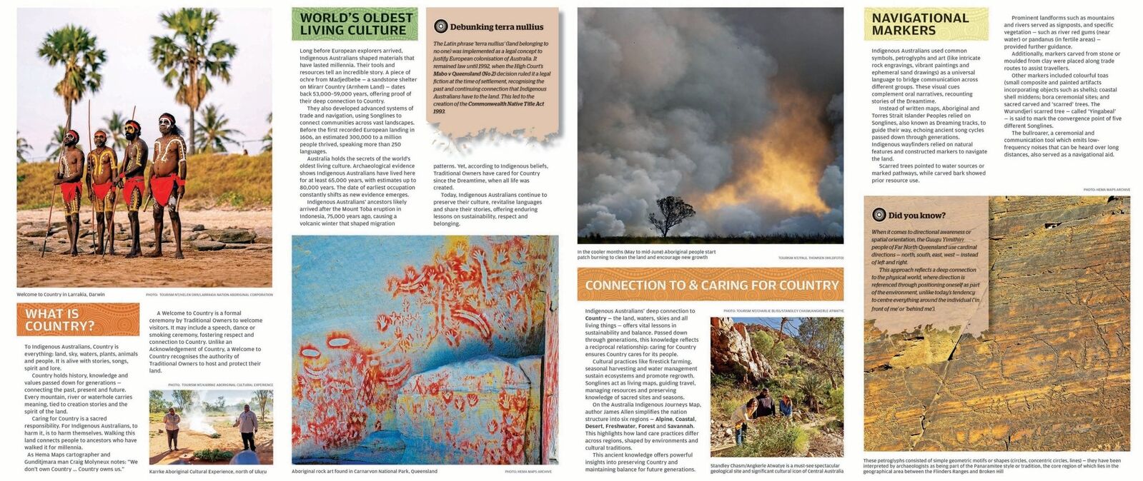
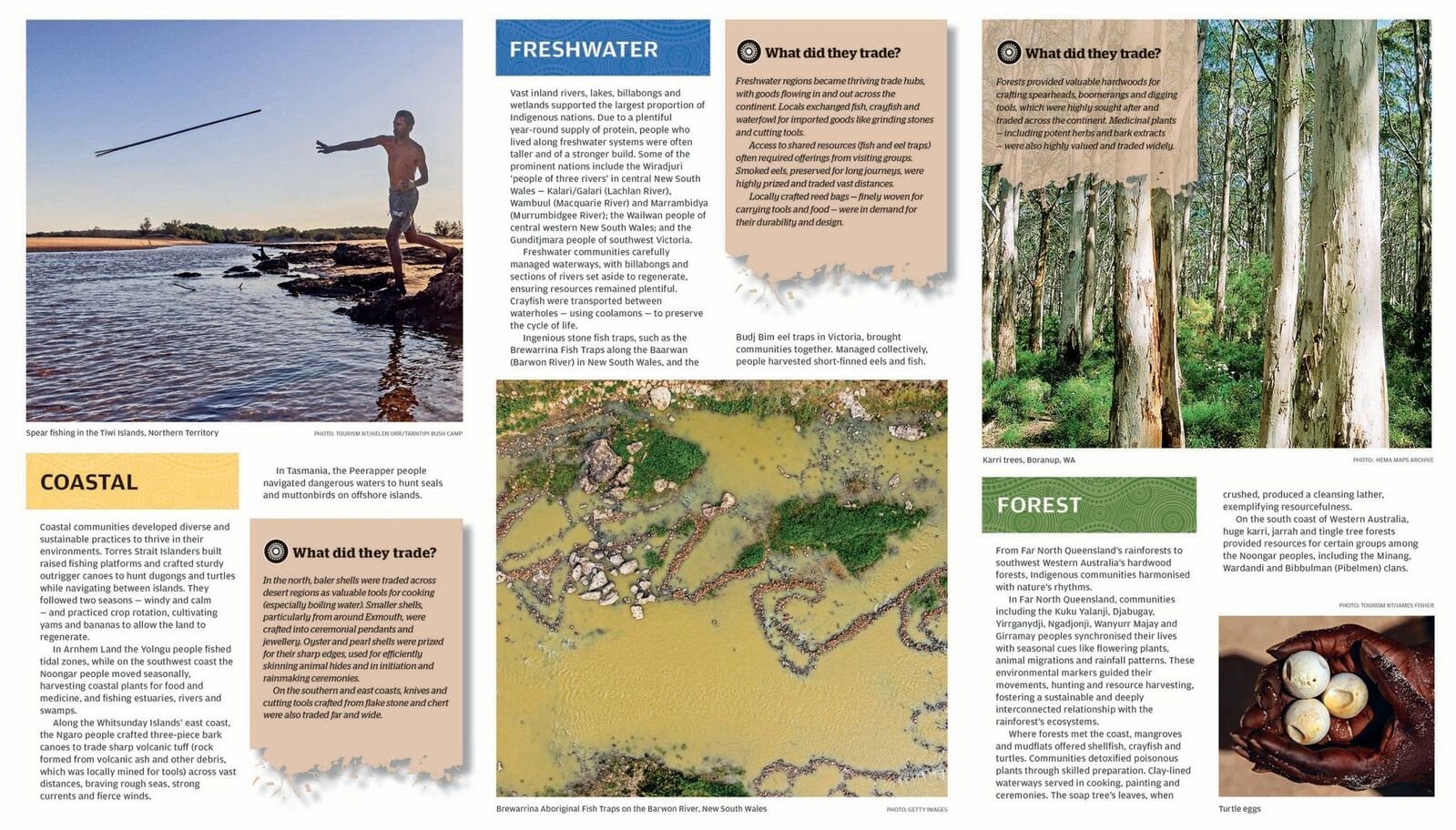
See how the Australian landscape may have appeared when it was solely inhabited by Indigenous Peoples. The reverse explores connection to Country, navigation and what was traded across coastal, freshwater and forest environments.
Ancient trade routes, cultural pathways and songlines, more than 250 Indigenous language groups, traded goods, traditional names for key places, and Aboriginal art and cultural centres.
Hema Maps with geologist and explorer James Allen, from travels across the continent in 2020-24, with guidance from Traditional Owners and cartographic expertise from Gunditjmara man Craig Molyneux.
Yes. Hema made it for travellers, educators, students and families, and it makes a meaningful gift.
This is the 1st edition (ISBN 9781922668936), published July 2025.

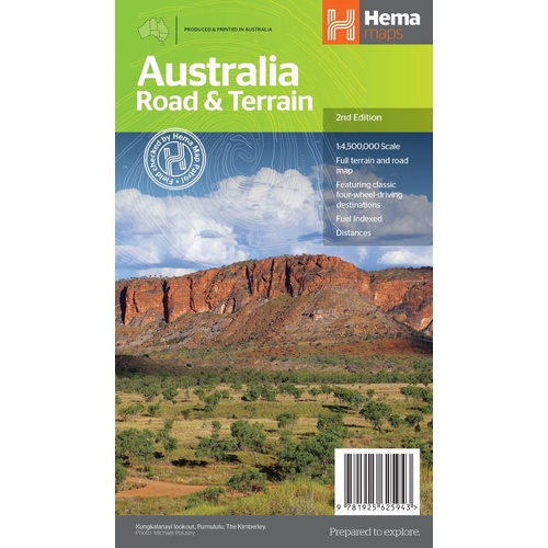
Hema's large map of Australia for planning the lap.
$15.95 · View
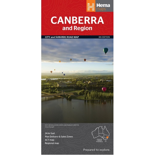
Australia with terrain hillshading and climate zone colours.
$15.95 · View

| Brand | Hema Maps |
| Title | Australia Indigenous Journeys: Trade Routes, Tours & Culture |
| Edition | 1st |
| Publication date | July 2025 |
| ISBN | 9781922668936 |
| Scale | 1:5,500,000 |
| Format | Folded map |
| Folded size (W x H x D) | 145 x 250 x 3 mm |
| Weight | 90 g |
| SKU | 9781922668936 |
| Barcode # | 9781922668936 |
| Brand | Hema Maps |
| Shipping Weight | 0.0900kg |
| Shipping Width | 0.140m |
| Shipping Height | 0.005m |
| Shipping Length | 0.250m |
Hema Maps has been mapping Australia since 1983, with touring and 4WD maps built from tracks its own teams have driven and GPS-surveyed. Hema Maps began in 1983, when Henry and Margaret Boegheim started laminating marine charts from their family home in South East Queensland, naming the business aft...
Find Out More
Make 4 payments of $3.99 over 8 weeks with

Make 4 payments of $9.99 over 8 weeks with

Make 4 payments of $2.99 over 8 weeks with
This item is currently on back order and may require additional processing time.
This is a non-stocked item and may require additional processing time. Please click here for more information.