

Hema K'gari (Fraser Island) & the Brisbane Islands Atlas & G
Make 4 payments of $12.49 over 8 weeks with

In Stock - In Stock at Supplier - Item Ships in 2-5 business days
Special Order Item - Terms and Conditions apply.
Need it fast? Contact us to confirm lead times.
Pickup currently unavailable.




Plan your trip across Australia's tropical north
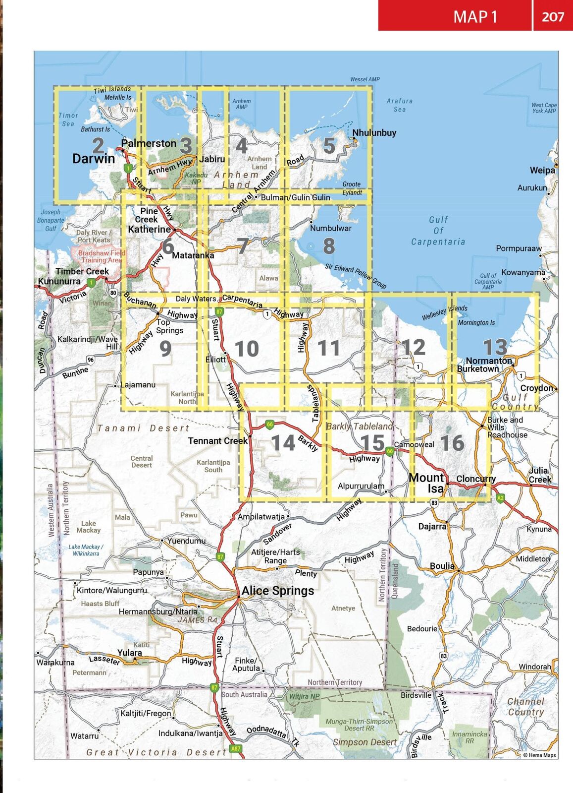
From Darwin and Kakadu to Lawn Hill and the Gulf Coast, this Hema atlas and guide covers the whole Top End and Gulf region. It brings together Hema maps, 4WD trips, campsites and the stories behind the country, so you can plan the trip and use it on the road.

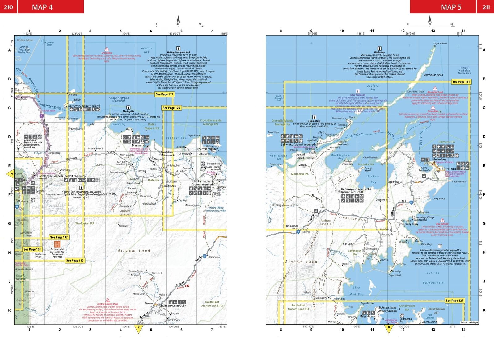
All maps have been field checked by Hema's Map Patrol team using the latest mapping data. Written and researched by Chris Whitelaw. Hema Maps has been mapping Australia since 1983.
Darwin to the Barkly
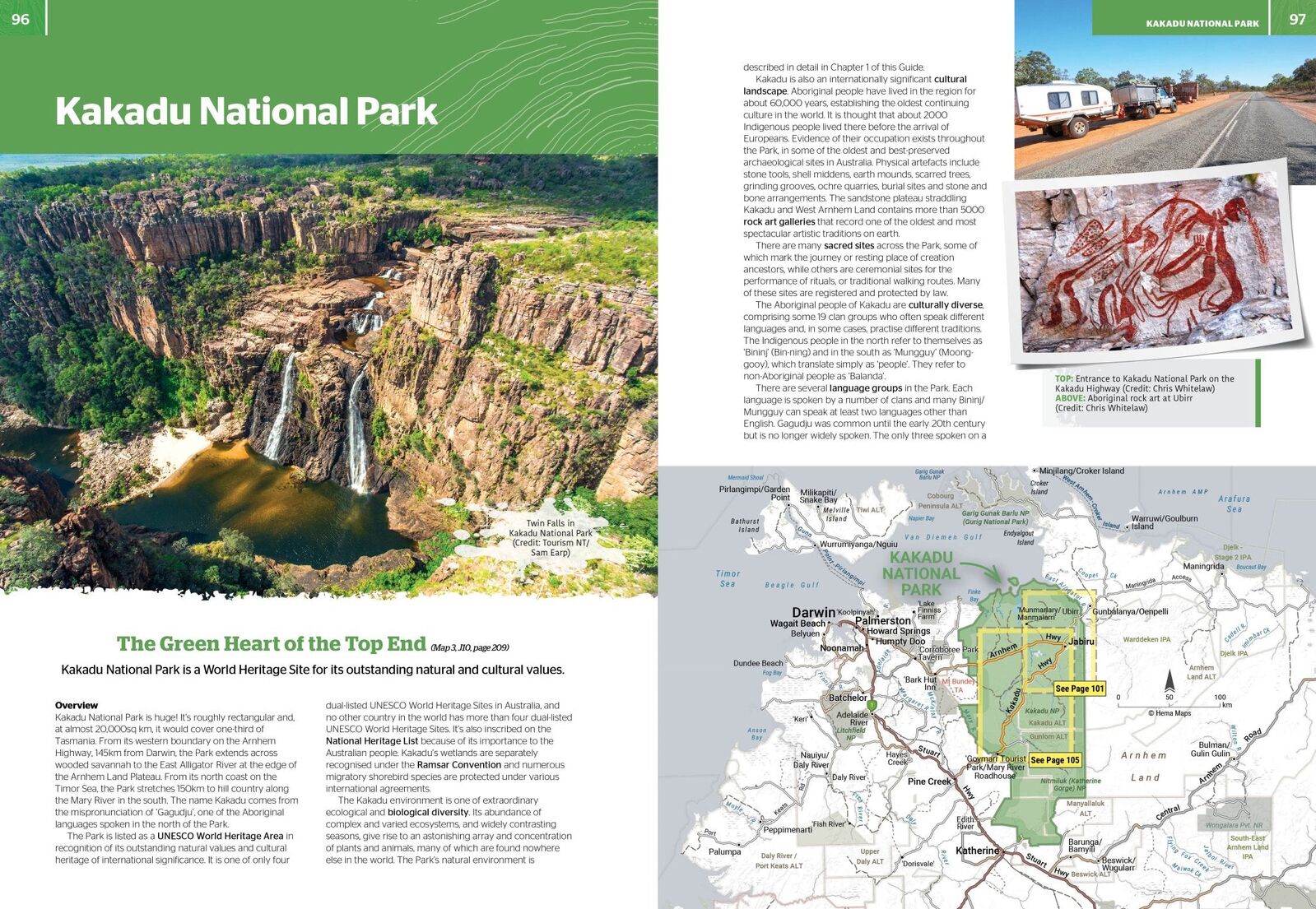
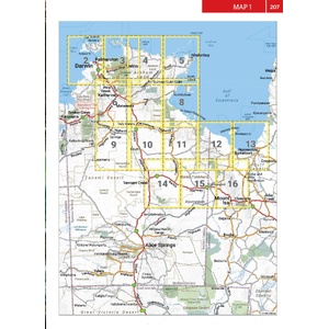
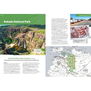
The guide covers Darwin and the Tiwi Islands; Kakadu, Litchfield, Nitmiluk, Judbarra-Gregory, Limmen and Boodjamulla (Lawn Hill) National Parks; Arnhem Land; the Gulf Coast and the Barkly Tableland.
Culture, history and stories
Extensive cultural information and stories from both Indigenous and European history give you a richer way to experience this part of Australia, alongside the practical detail you need for remote travel.
Surveyed by the Map Patrol
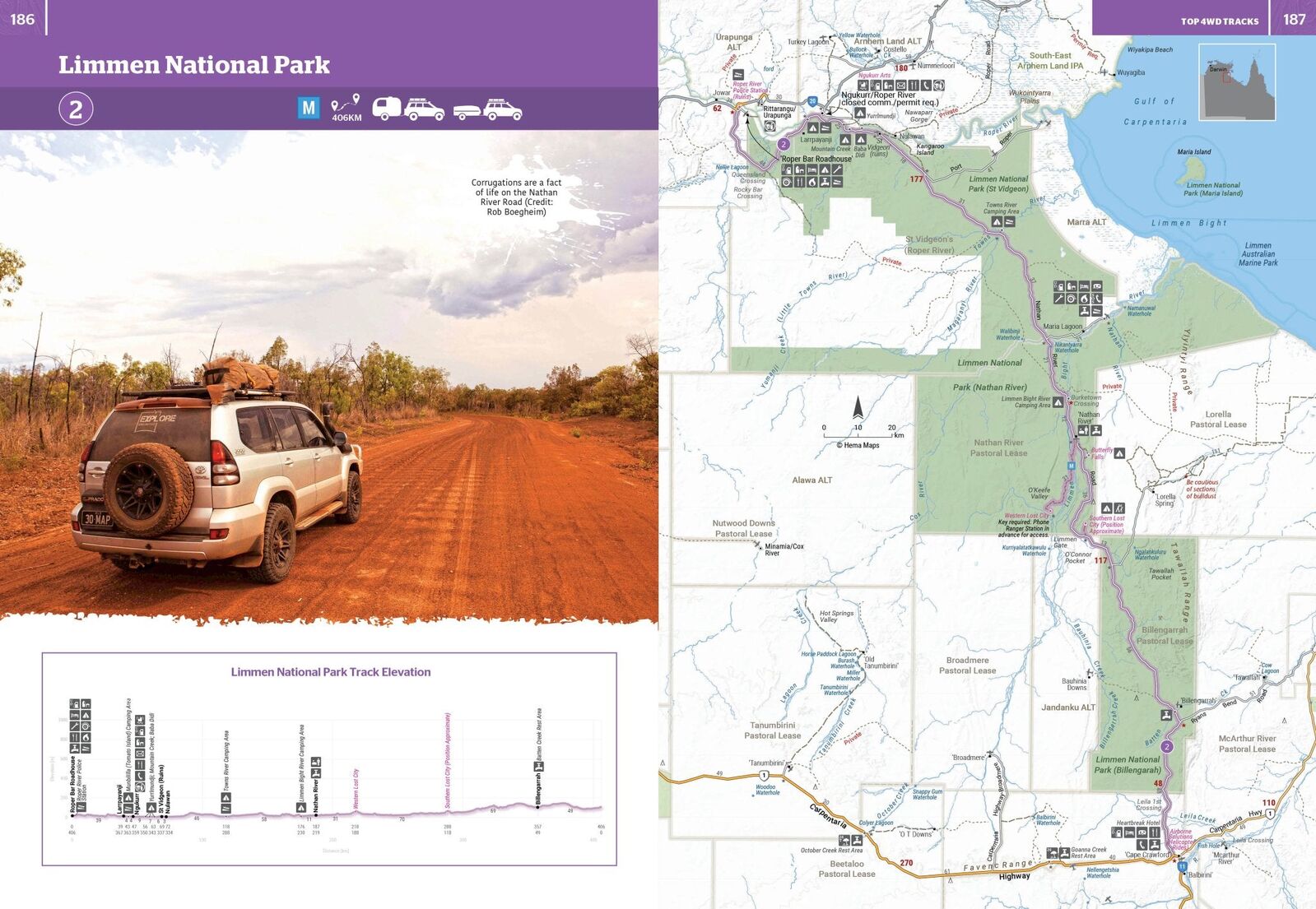
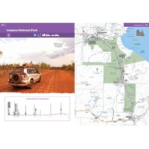
Roads and tracks are surveyed by Hema's Map Patrol. Detailed national park and 4WD track inset maps show you the ground at the scale you need.
Kakadu, Litchfield, Nitmiluk, Judbarra-Gregory, Limmen and Boodjamulla (Lawn Hill) National Parks.
Yes. It has five famous 4WD trips, with detailed national park and 4WD track inset maps.
This is the 1st edition (ISBN 9781922668943), written and researched by Chris Whitelaw.
Travel into Arnhem Land generally needs a permit. The guide covers the region; always check current permit requirements with the Northern Land Council before you go.


Hema map of Litchfield, Katherine and Kakadu national parks.
$15.95 · View

Hema map of the Savannah Way from Cairns to Broome.
$15.95 · View
| Brand | Hema Maps |
| Title | Top End and Gulf Atlas & Guide |
| Edition | 1st |
| ISBN | 9781922668943 |
| Author | Chris Whitelaw |
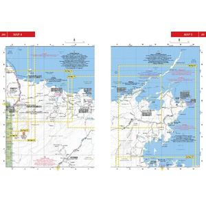
| Maps | 2 key maps, 24 inset maps, 8 overview maps |
| 4WD trips | 5 |
| Weight | 955 g |
| SKU | 9781922668943 |
| Model # | 9781922668943 |
| Barcode # | 9781922668943 |
| Brand | Hema Maps |
| Type | Travel Guide Book |
| SKU | 9781922668943 |
| Shipping Weight | 0.9550kg |
| Shipping Width | 0.100m |
| Shipping Height | 0.010m |
| Shipping Length | 0.150m |
| Shipping Cubic | 0.000150000m3 |
Hema Maps has been mapping Australia since 1983, with touring and 4WD maps built from tracks its own teams have driven and GPS-surveyed. Hema Maps began in 1983, when Henry and Margaret Boegheim started laminating marine charts from their family home in South East Queensland, naming the business aft...
Find Out More
Make 4 payments of $12.49 over 8 weeks with

Make 4 payments of $7.49 over 8 weeks with

This item is currently on back order and may require additional processing time.
This is a non-stocked item and may require additional processing time. Please click here for more information.