
Hema Outback Queensland Map - Camooweal to Stanthorpe (5th E
Make 4 payments of $3.99 over 8 weeks with

In Stock - In Stock at Supplier - Item Ships in 2-5 business days
Special Order Item - Terms and Conditions apply.
Need it fast? Contact us to confirm lead times.
Pickup currently unavailable.
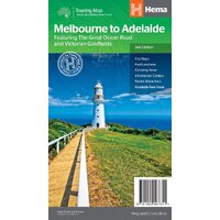
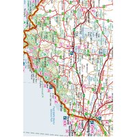



One of Australia's great interstate drives
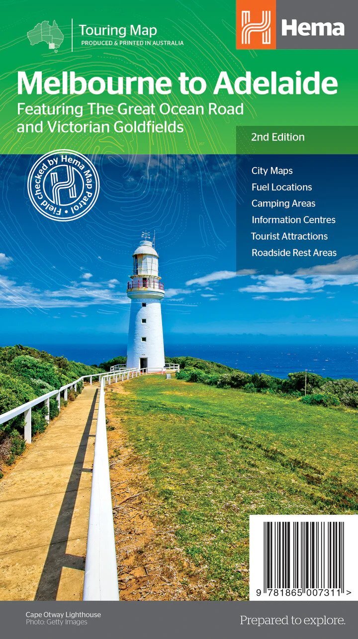
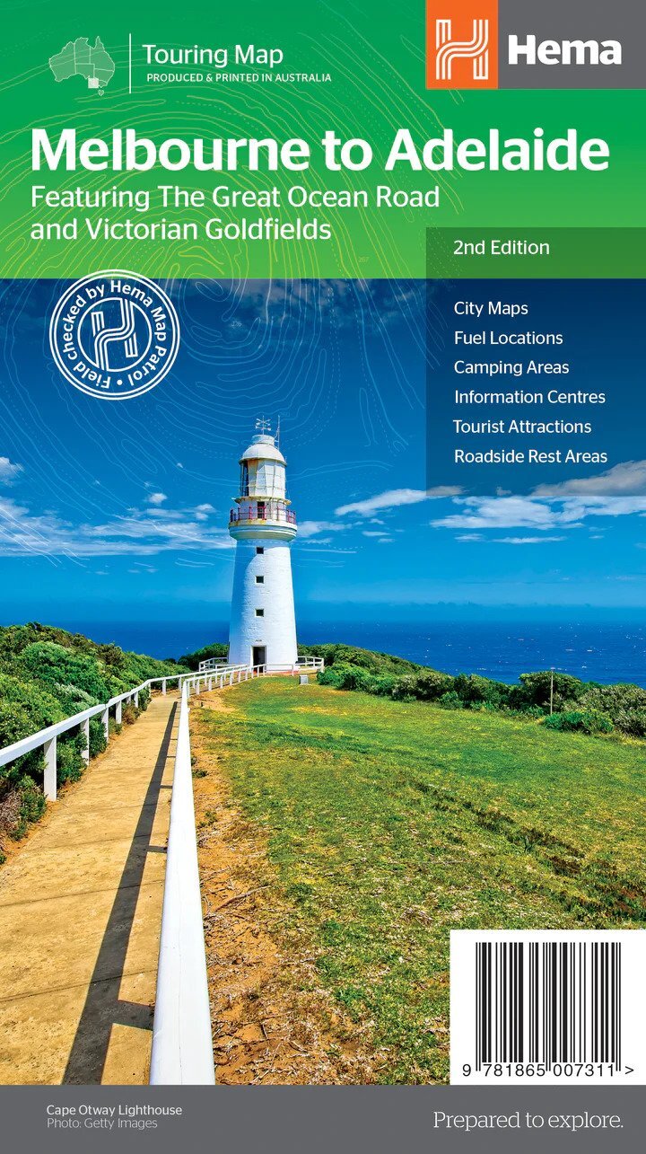
Melbourne to Adelaide can be a two-day dash or a week on the coast. This Hema touring map covers the whole drive at 1:900,000, featuring the Great Ocean Road and the Victorian Goldfields, with camping areas, rest areas and fuel along every route.
Hema Maps has been mapping Australia since 1983. Its maps are produced and printed in Australia, and Hema's Map Patrol team drives the roads and tracks to field-check the mapping.
Every route between the capitals
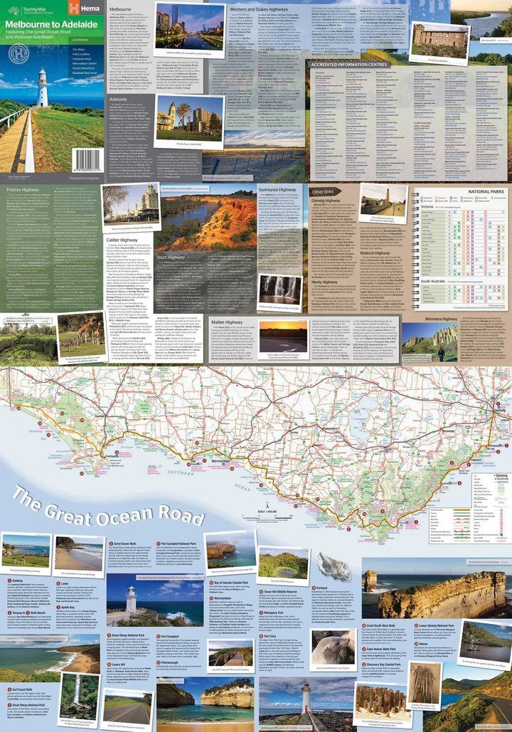
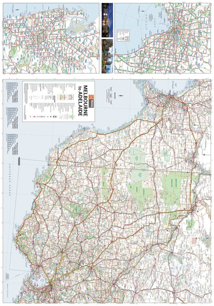
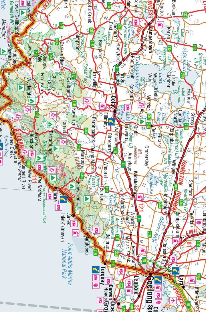
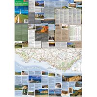
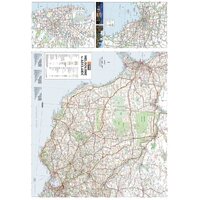
The main map covers western Victoria and south-east South Australia between the two cities, with through-road maps to get you in and out of Melbourne and Adelaide. A distance chart makes it easy to plan each leg.
Camps, rest stops and fuel at a glance
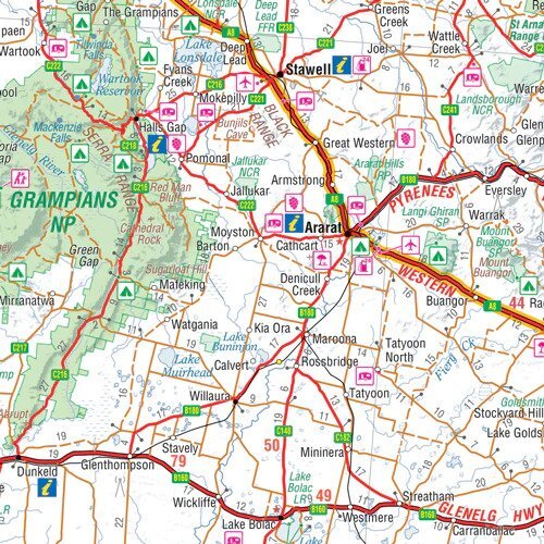
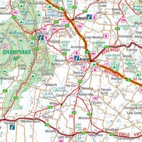
Camping areas, roadside rest areas, information centres and attractions are marked with clear symbols, along with highway numbers and distances between towns. Ideal for picking the next overnight stop with the van.
The Great Ocean Road in detail
The reverse has a Great Ocean Road map at 1:450,000 with key stops pinpointed and tourist information alongside, plus touring notes and photos for the highways and regions along the way.
This is the 2nd edition of Hema's Melbourne to Adelaide touring map (ISBN 9781865007311).
Yes. The Great Ocean Road has its own map at 1:450,000, with key stops and tourist information.
Yes. Camping areas, roadside rest areas and 24-hour fuel are marked.
Hema lists this map as standard paper. A Hema map wallet will keep it in good shape.
| Brand | Hema Maps |
| Title | Melbourne to Adelaide: Featuring the Great Ocean Road and Victorian Goldfields |
| Series | Touring Map |
| Edition | 2nd |
| ISBN | 9781865007311 |
| Main map scale | 1:900,000 |
| Great Ocean Road map scale | 1:450,000 |
| Paper | Standard paper |
| Folded size (W x H x D) | 140 x 250 x 3 mm |
| Flat size (W x H) | 700 x 1000 mm |
| Weight | 68 g |
| SKU | 9781865007311 |
| Barcode # | 9781865007311 |
| Brand | Hema Maps |
| Shipping Weight | 0.0600kg |
| Shipping Width | 0.140m |
| Shipping Height | 0.005m |
| Shipping Length | 0.250m |
Hema Maps has been mapping Australia since 1983, with touring and 4WD maps built from tracks its own teams have driven and GPS-surveyed. Hema Maps began in 1983, when Henry and Margaret Boegheim started laminating marine charts from their family home in South East Queensland, naming the business aft...
Find Out More
Make 4 payments of $3.99 over 8 weeks with
Make 4 payments of $9.99 over 8 weeks with
Make 4 payments of $2.99 over 8 weeks with
This item is currently on back order and may require additional processing time.
This is a non-stocked item and may require additional processing time. Please click here for more information.