

Hema Outback Queensland Map - Camooweal to Stanthorpe (5th E
Make 4 payments of $3.99 over 8 weeks with

In Stock - In Stock at Supplier - Item Ships in 2-5 business days
Special Order Item - Terms and Conditions apply.
Need it fast? Contact us to confirm lead times.
Pickup currently unavailable.
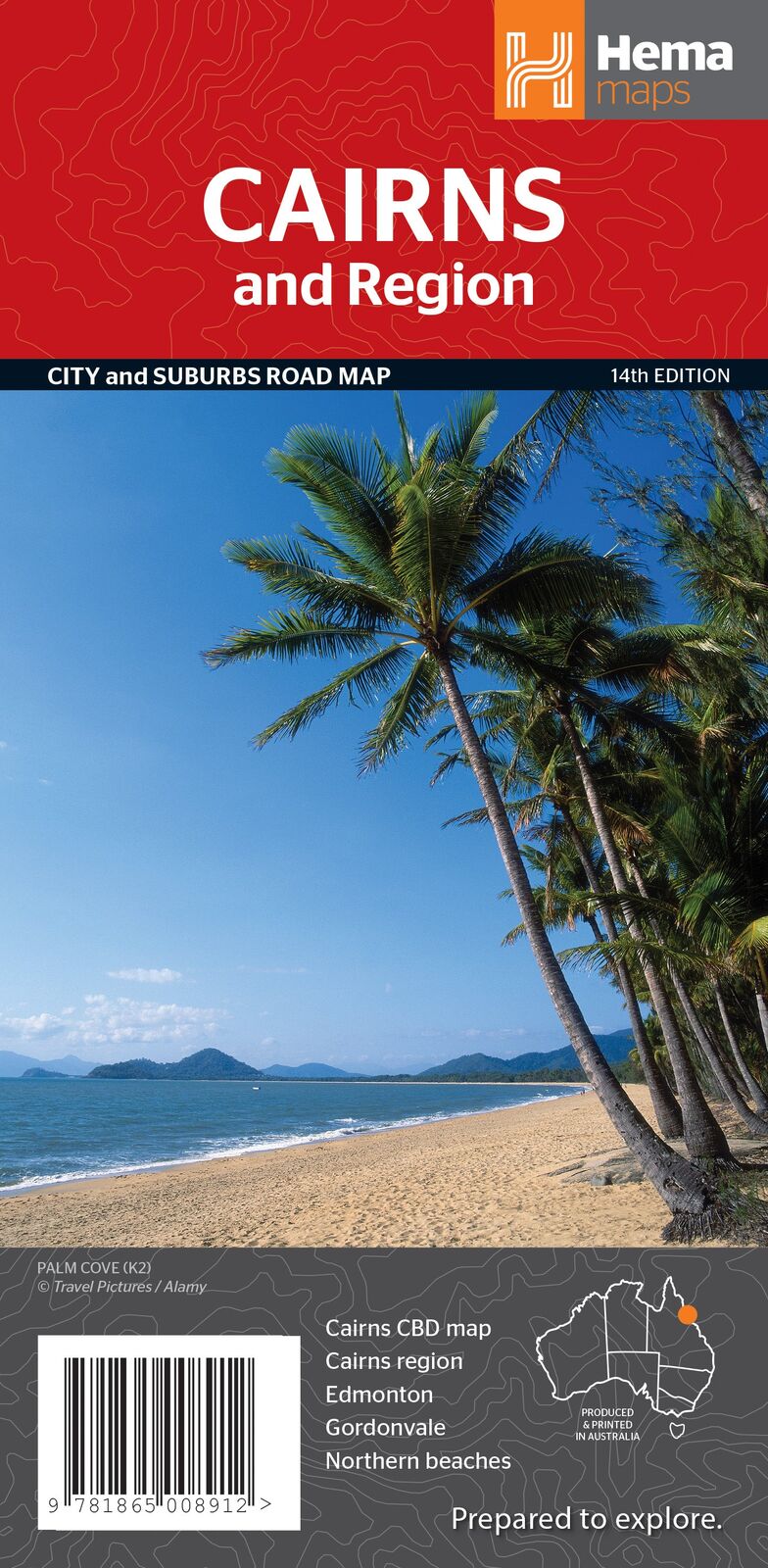
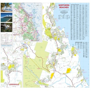
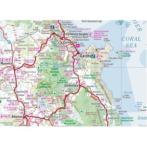


Find your way around Cairns and its beaches
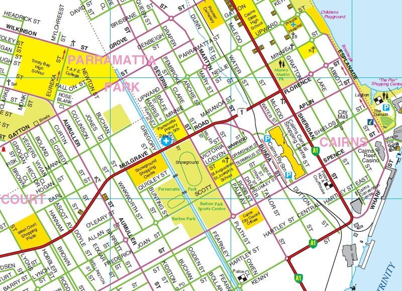
Using Cairns as your base for the reef, the rainforest and the Tablelands? This Hema map has the city and suburbs at a detailed 1:22,500, with the northern beaches on the other side, so you can find the caravan park, the shops and the boat ramp without guesswork.
Hema Maps has been mapping Australia since 1983. Its maps are produced and printed in Australia, and Hema's Map Patrol team drives the roads and tracks to field-check the mapping.
Cairns, street by street
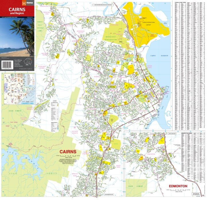
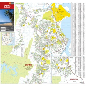
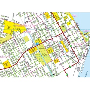
One side covers Cairns from the CBD out through the suburbs, with an Edmonton inset and a full street index alongside. Parks, state forest and key landmarks are shaded so you can orient yourself fast.
Northern beaches and Gordonvale
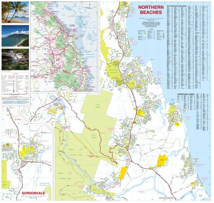
Flip the map for the northern beaches, the strip of coastal suburbs north of the city along the Captain Cook Highway, plus an inset of Gordonvale to the south. Each has its own index.
Out to Kuranda and the Tablelands
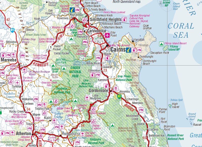
The Cairns region inset shows the roads out of town to Kuranda, Mareeba, Atherton, Yungaburra and Gordonvale, with national parks, lookouts and attractions marked. It is a quick way to plan a day trip up the range.
This is the 14th edition of Hema's Cairns & Region map (ISBN 9781865008912).
The Cairns city and suburbs map is at 1:22,500, detailed enough for street-level navigation.
Yes. The northern beaches have their own map on the reverse side, with an index.
No. Hema prints this city map on standard paper. It folds back to glovebox size, and a Hema map wallet will keep it clean and flat between uses.
No, this is a city and region map. For the trip north, pair it with the Hema Cape York Map below.


| Brand | Hema Maps |
| Title | Cairns & Region |
| Series | City and Suburbs Road Map |
| Edition | 14th |
| Publication date | January 2015 |
| ISBN | 9781865008912 |
| Main map scale | 1:22,500 |
| Maps and insets | Cairns, Northern Beaches, Cairns CBD, Edmonton, Gordonvale, Cairns Region |
| Paper | Standard paper |
| Folded size (W x H x D) | 123 x 250 x 3 mm |
| Flat size (W x H) | 730 x 700 mm |
| Weight | 70 g |
| SKU | 9781865008912 |
| Barcode # | 9781865008912 |
| Brand | Hema Maps |
| Shipping Weight | 0.0700kg |
| Shipping Width | 0.123m |
| Shipping Height | 0.003m |
| Shipping Length | 0.250m |
Hema Maps has been mapping Australia since 1983, with touring and 4WD maps built from tracks its own teams have driven and GPS-surveyed. Hema Maps began in 1983, when Henry and Margaret Boegheim started laminating marine charts from their family home in South East Queensland, naming the business aft...
Find Out More
Make 4 payments of $3.99 over 8 weeks with

Make 4 payments of $9.99 over 8 weeks with

Make 4 payments of $2.99 over 8 weeks with
This item is currently on back order and may require additional processing time.
This is a non-stocked item and may require additional processing time. Please click here for more information.