

Hema Outback Queensland Map - Camooweal to Stanthorpe (5th E
Make 4 payments of $3.99 over 8 weeks with

In Stock - In Stock at Supplier - Item Ships in 2-5 business days
Special Order Item - Terms and Conditions apply.
Need it fast? Contact us to confirm lead times.
Pickup currently unavailable.


Find your way around Greater Brisbane
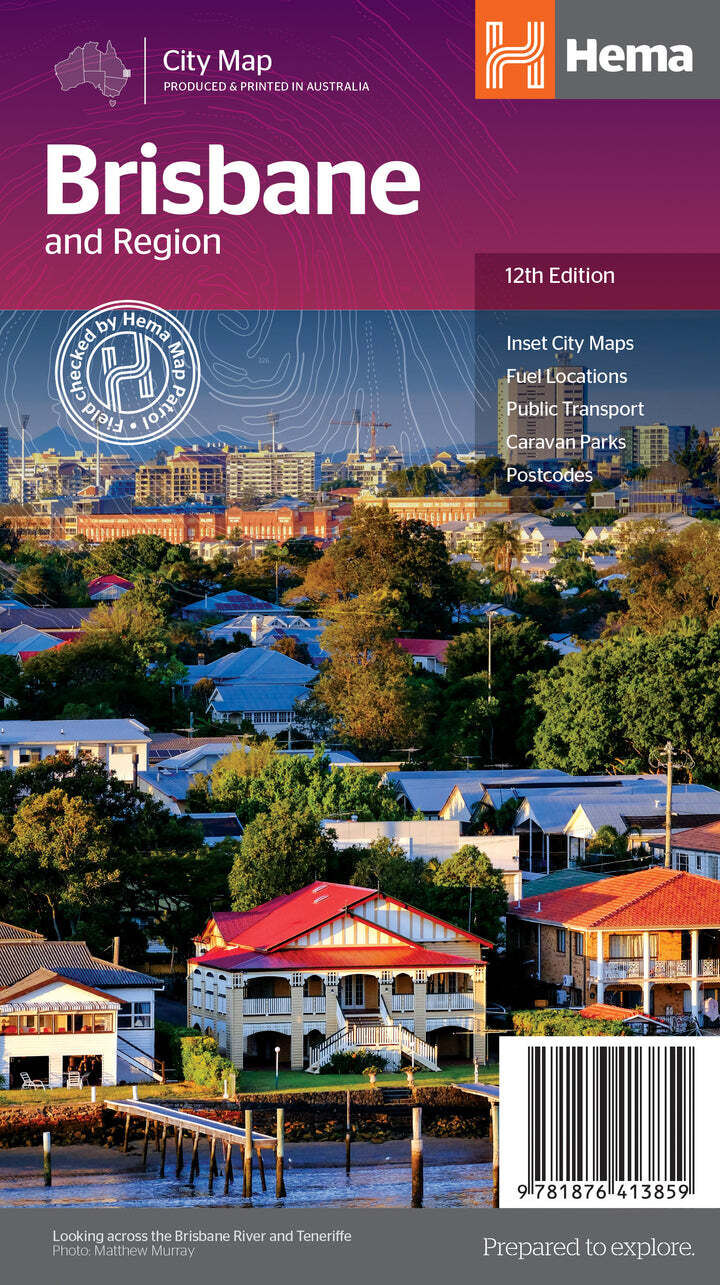
Visiting Brisbane, passing through with the van, or planning day trips around Moreton Bay and the Gold Coast? Hema's Brisbane & Region map covers Greater Brisbane from Bribie Island to Coomera and west to Ipswich, with the caravan parks, fuel and transport links visitors need.
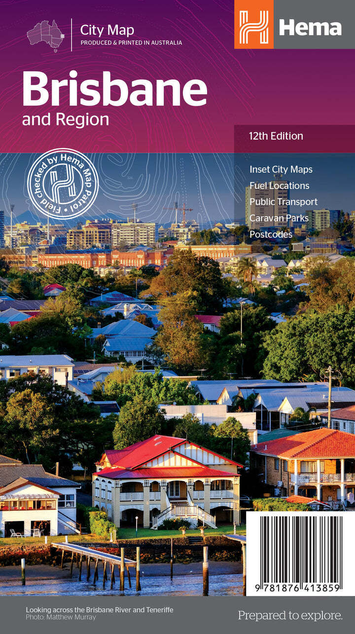
Hema Maps is Australia's trusted touring map maker. The cover carries Hema's Map Patrol field-checked seal, and the map is produced and printed in Australia.
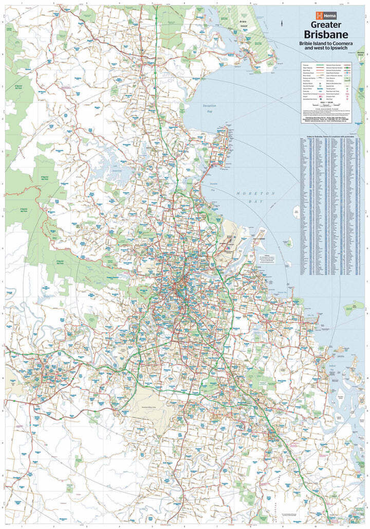
Greater Brisbane at 1:100,000
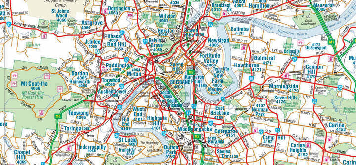
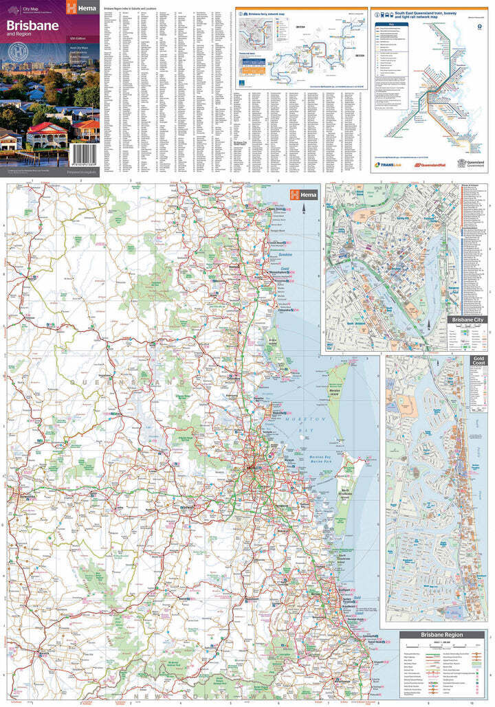
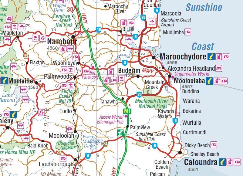
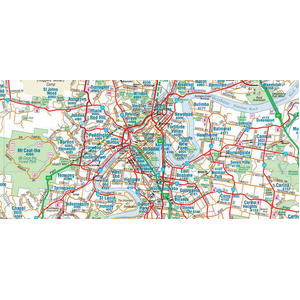
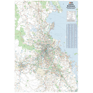
The main side maps Greater Brisbane at 1:100,000, from Bribie Island in the north to Coomera in the south and west to Ipswich. Major highways, 24-hour fuel stops and points of interest are all marked, so you can plan the easiest way in and out with a caravan or trailer.
City, coast and transport maps
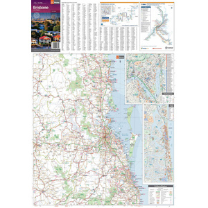
The reverse has a lower-scale 1:300,000 overview of Brisbane and the surrounding regions, plus inset maps of Brisbane city and the Gold Coast. Official rail and ferry maps help you leave the car at the park and explore by train or CityCat.
Suburbs and postcodes at a glance
Suburbs are labelled with their postcodes, and main roads are colour coded so they stand out. It makes it simple to find an address, a caravan park or a stop for fuel on the way through.
The main map covers Greater Brisbane at 1:100,000, from Bribie Island south to Coomera and west to Ipswich. The reverse has a 1:300,000 overview of the city and surrounding regions.
There is a Gold Coast inset map on the reverse. For more detail of the coast and hinterland, add the Hema Gold Coast & Region map.
Yes. It includes the official Brisbane rail and ferry maps.
This is the 12th edition (ISBN 9781876413859).
No. Hema lists this city map on standard paper, so keep it in a map wallet or the glovebox.

Hema regional map for touring and 4WD trips beyond the city.
$15.95 · View
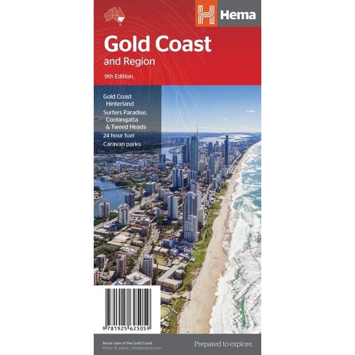

Walking trails and rainforest of Lamington National Park, Binna Burra and Green Mountains.
$15.95 · View
| Brand | Hema Maps |
| Title | Brisbane & Region |
| Series | City Map |
| Edition | 12th |
| Publication date | July 2017 |
| ISBN | 9781876413859 |
| Scale | 1:100,000 (reverse 1:300,000) |
| Paper | Standard paper |
| Folded size (W x H x D) | 140 x 250 x 3 mm |
| Flat size (W x H) | 700 x 1000 mm |
| SKU | 9781876413859 |
| Barcode # | 9781876413859 |
| Brand | Hema Maps |
| Shipping Weight | 0.0700kg |
| Shipping Width | 0.140m |
| Shipping Height | 0.003m |
| Shipping Length | 0.250m |
Hema Maps has been mapping Australia since 1983, with touring and 4WD maps built from tracks its own teams have driven and GPS-surveyed. Hema Maps began in 1983, when Henry and Margaret Boegheim started laminating marine charts from their family home in South East Queensland, naming the business aft...
Find Out More
Make 4 payments of $3.99 over 8 weeks with

Make 4 payments of $9.99 over 8 weeks with

Make 4 payments of $2.99 over 8 weeks with
This item is currently on back order and may require additional processing time.
This is a non-stocked item and may require additional processing time. Please click here for more information.